Getting There
It's 28 miles from Woodland to the Cougar. There are a couple of gas stations here. Continue east on SR-503 which becomes Rd 90 for 9.5 miles to Ape Cave. Looks for the sign to Ape Caves, June Lake, Climber's Bivouac, Ape Canyon & Lava Canyon which is Rd 83. It's 0.3 miles to Trail of Two Forests and 0.7 miles to Ape Cave.
However, there was road construction on Rd 83 so the only way to get there, and other places north like Marble Mountain, June Lake, Ape and Lava Canyon was to get Road 81 past Merrill Lake and Kalama Horse Camp. This deterred a lot of would-be visitors but there were still folks that persevered and made it.
I was here for an
MSHI mentor shift but no one had signed up. Normally I would just spend the day at the cave
entrance, but I kinda wanted to take a break and explore the cave when fewer people were
coming up.
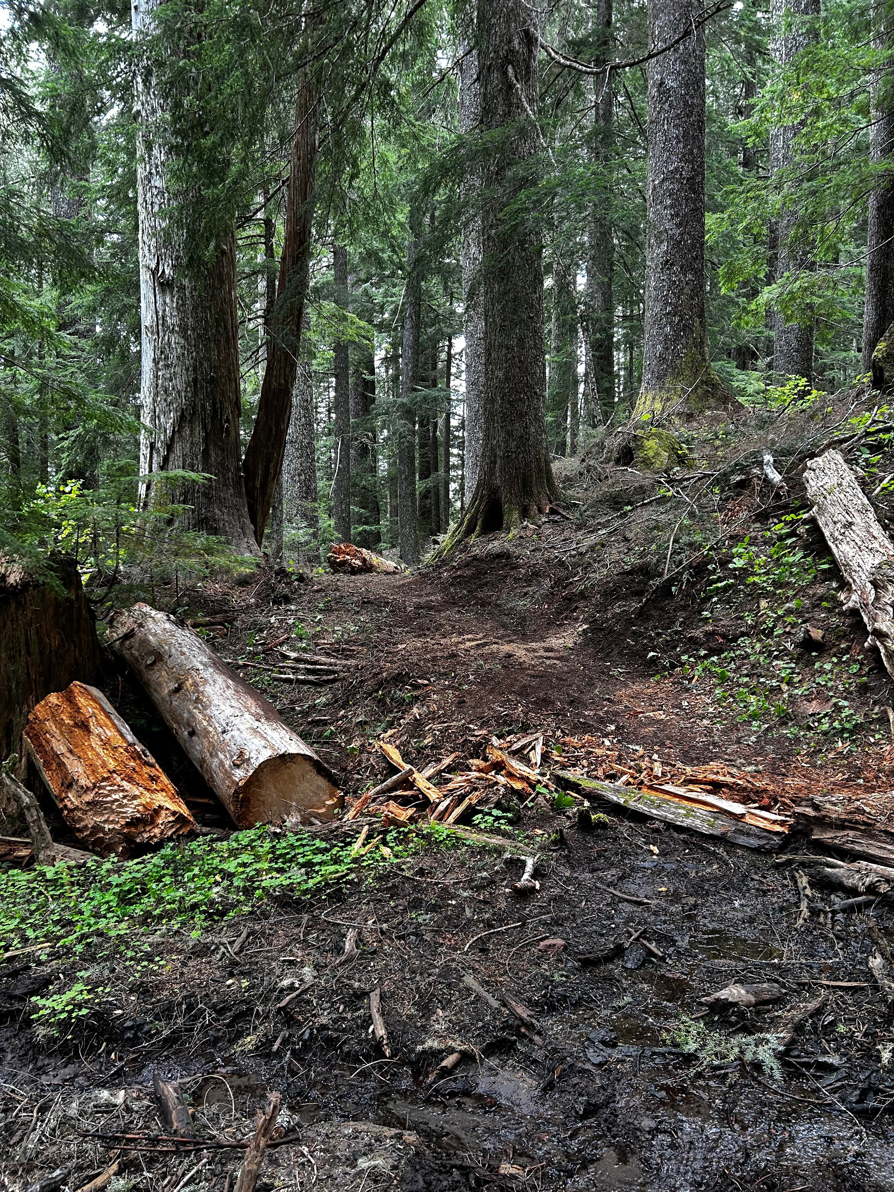
The Hike

Elevation Gain: 495 feet
Highest Elevation: 2,443 feet
I started the day in the parking lot, collecting trash and cleaning up the bathrooms a bit. The Ape Headquarters Store was closed (Mon, Tue). I was the only "official" presence up there.
I wandered up the info kiosk by the entrance and set up shop. I hung my array of visual aids and greeted the slow but steady trickle of novice cave explorers. Several groups had young kids and a few opted for the upper, more challenging, passage.
One couple I met had parked near the FR-90/83 junction and hopped on their bikes to get to the site. Another couple parked below the road construction project and walked the road to get here.
After an hour or so, I realized I didn't have my radio, it was still in the car. I walked back down to the parking lot and retrieved it, and my lunch. I heard some noise coming from behind the still-closed store. I peaked around the corner and found Camille, a full-time USFS staff member. I'd never met her personally but knew her name. She was our POC for the trailwork on the S/SW side of the monument. She asked if it was I that cleaned the bathrooms. I said "yes" and tried to downplay it. She was so appreciative and repeated her "thanks" a few times.
A pair of visitors found us and began asking questions about the site. I told them I'd be glad to escort them to the cave entrance and said goodbye to Camille. When we got there, I get them the run-down and they made their way to the lower passage.
After noon, I figured I'd hike up to the upper cave's exit on the surface trail, to pick up trash, trim a few branches, and just get away from the stationary spot where I normally hang. Sometimes, the mosquitos and other insects can get annoying but there were few to none on this day. I was ready with a bug repellent gizmo I got from Sportsman's Warehouse. I encountered many visitors whom I'd seen earlier.
I returned to the kiosk but figured I do some roving in the lower cave. I took the opportunity to chat with a few folks down there, making sure to identify myself as an MSHI Volunteer. The last time I was in the lower cave was for the youth trip back in mid-Feb. We'd only gone as far as the "Meatball". I wanted to go to the "end", where the passage tapers down to a dead end. It was further past the "Meatball" than I remembered.
When I got back, it was about time to leave. I packed up my visual aids and headed for the car.
I wanted to take a look at the washout between Marble Mountain and June Lake, as well as the road construction near the cave. I was a bit surprised to see the blockade had been removed and a car passed. I headed up to Marble Mountain first. I was happy to see all but one whoop-de-whoop was gone, back to pavement.
I did a u-turn and headed out. I was glad I didn't have to take the "long" way via Rd 81. The construction project was not done, still asphalt to be applied but it was easily passable, a huge improvement from the gnarly pothole that have been there for years.
It was a great first shift of the season.