|
| AllTrails map |
|
|
 |
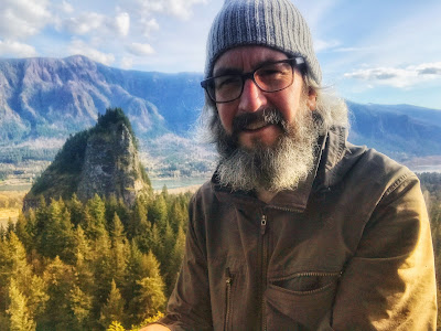
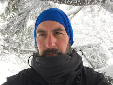
Selfie from the top of the Dog Mountain Trail
|
Getting There
I took WA-14 eastbound from Vancouver, WA. It's 54 miles from Vancouver and 6.2 miles from the Carson turnoff/round-about.
Note: "A Dog Mountain Trail System Permit is required April 23 through June 12 (Saturday and Sunday only)." - https://www.recreation.gov/ticket/facility/273800
Since the weather was looking inclement, I didn't want to venture up to
Phlox/Equestrian or Hamilton parking lots. While it was rainy in the
early afternoon, it could change to freezing while I was hiking, no bueno. I considered Table Mountain from the Bonneville Trailhead but it is such a long approach through the flatlands. I decided on Dog Mountain since the trailhead is just off the road and offered some good elevation gain.
The Hike
Length: 6.35 mi
Elevation gain: 2,815 ft
Moving time: 3:06:45
Avg. pace: 29:23
Calories: 1,645
Total time: 3:31:10
Steps (Fitbit): 18,847
Zone Min (Fitbit): 10 (8 Fat Burn, 2 Cardio/Peak)
Floors (Fitbit): 259
Cals (Fitbit): 3,337
The first part of the trail was really nice, no mud but it's a leg burner :). On my ascent, I hadn't seen any trace of snow until pretty close to where the "more difficult" and "difficult" trails converged.
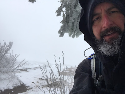
I stopped and put on my pack rain cover, gaiters and microspikes. I also donned my warm hat. In a fortunate stroke of serendipity, I left my usual light hiking jacket at home so I wore my ski jacket. I needed it. I had my light duty gloves but had my ski gloves in my pack. My hands were pretty cold but I stubbornly didn't get the warmer gloves out.
Lots of people on their descent volunteered that the snow was pretty heavy at the top. A few people admitted to being under prepared. In fact, I passed a young couple where were wearing running shows and cotton sweat shirt.
I definitely needed the microspikes between the trail split and Puppy Dog viewpoint. It was pretty slushy and I kept having to knock clumps of debris (a mixture mud, snow, pine needles) from the bottom of my boot.
At Puppy Dog viewpoint, the snow got a lot deeper. There were decent footholes but visibility was poor. A person that had passed me was on their way down, citing the wind. I forged on, determined to get to the top, but then again, I wasn't sure. I kept seeing fresh footprints.
Once I reached a section where there was no wind, I knew I could make it the rest of the way.
After the last switch back, I called out to the little shelter under the trees to see if it was occupied. It wasn't but there was a guy just off to the left in the trees. He acknowledged me and we said hello. He offered his spot when he left.
The apple I had was nearly frozen or at least firm & unappetizing. I adjusted my gear and started my descent.
It was slow progress because it was slushy and a bit slippery despite having microspikes. Eventually I reached a point where I didn't need the spikes. I carried them for awhile and found a spot to stop and pack them so I could use my poles more easily.
At the viewpoint at 1600 ft, I met the guy from the top and other person. We chatted for a minute about the trail conditions.
Somewhere along the way my left leg/IT band was really barking. I stopped a few time to stretch but it only helped a little. I limped the rest of the way. I noticed that hiker behind me getting closer but he never passed me.
So worth the cold and snow. Great hike!
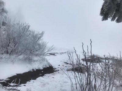 |
Top of the Dog Mountain Trail
|
 |
Selfie from under a tree at the top
|
 |
Look back at the trail in snow zone
|
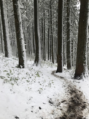 |
Look ahead at the trail
|
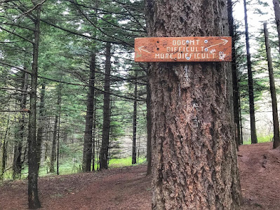 |
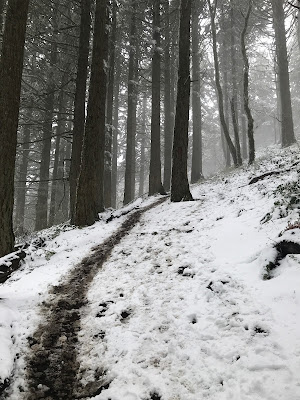
Trail split near the beginning
|
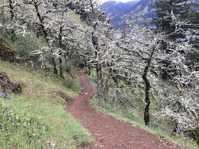 |
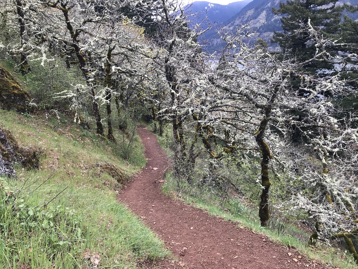
No snow down here
|
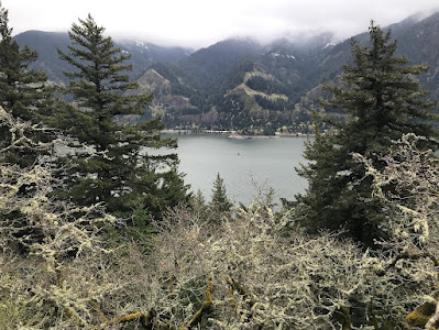 |
Columbia River on the descent
|
AllTrails recording: https://www.alltrails.com/explore/recording/dog-mountain-with-april-snow-964d180