 |
AllTrails map
|
Getting There
After stopping at Michael's in Gresham near I-205, I wanted to take a spin in the outdoors. I knew Sandy River Delta was gonna be packed but I took a spin through the parking lot. No dice. Out of curiosity I ducked under the freeway and saw lots of empty spots on the Lewis & Clark State Recreation Site on the Crown Point Highway. The trails start on the backside of the grassy area.
The Hike
Length: 3.41 mi
Elevation gain: 666 ft
Moving time: 1:40:56
Avg. pace: 29:35
Calories: 889
Total time: 1:44:47
About 10 years ago, I hiked the trail above the train tracks. I knew it would be noisy with I-84 traffic noise and noticed another trail that follows the highway and Sandy River. It was short out-n-back but I'd never been there.
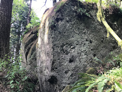
To my surprise, it's a popular rock climbing destination. I could hear voices before I could see the people. I noticed lots of chalky crevices and permanent bolted eye rings. There were about 7-8 different groups when I was there. It's only 0.6 miles to the end where there is a huge wall.
 |
Rock climbers
|
 |
End of the trail
|
 |
Birb on a log.
|
When I got back to park, I made my way over to the Lewis & Clark Trail #400. According to the map, the trail ends after 0.3 miles but I went another 0.7 miles.
Along the way, there was a decently clear view of the Sandy River Delta.
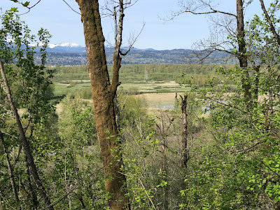 |
From other trail, Sandy River Delta
|
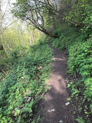 |
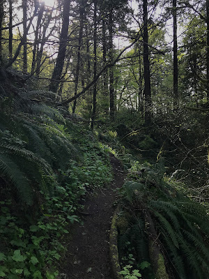
Lewis & Clark Trail #400
|
 |
| Lewis & Clark Trail #400 |
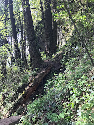
There were several downed trees that have been notched to make it easier
to climb over. The boulders where I turned around had a lot work done
to clear a fallen Douglas fir; lots of needles everywhere.
 |
Huge rock in the forest
|


