

Getting There
From Portland, take I-5 north to Castle Rock (Exit 49) - 51.2 miles. Then, take the Spirit Lake Hwy (WA-504) for 45.7 miles to Coldwater Lake.
The Hike
 | ||
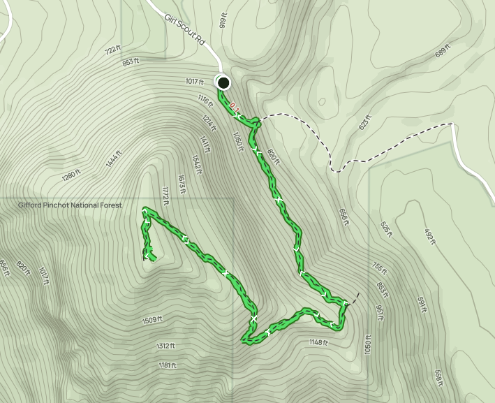
| AllTrails map |
Length: 8.17 mi
Elev. gain: 840 ft
Moving time: 3:05:11
Total time: 3:34:21
Avg pace: 22:40
Calories: 1,864
It was such a nice day out, 2nd or 3rd really sunny & warm day of 2023. I started the hike around 1pm.
This side of the Lakes Trail is mostly flat (I got about 840 ft of gain from small ups & downs). There are a few spots where it's a shear drop to the shoreline and several spots perfect for relaxing and getting down the water.
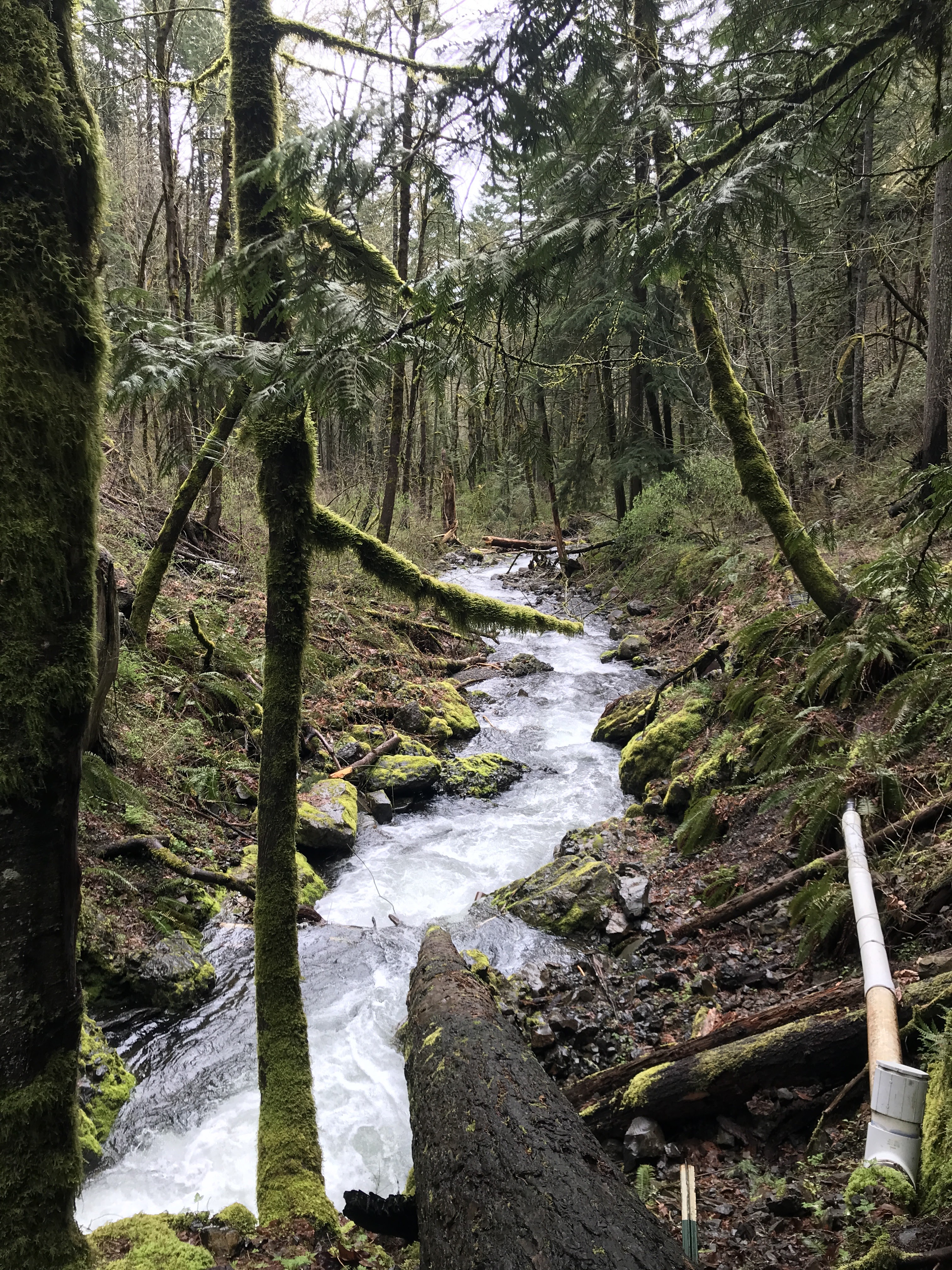
I finally encountered a creek crossing that required getting in the water. When I first reached the obstacle I wasn't sure what to do. I studied the options and hemmed & hawed. After a couple of minutes, several hikers came through and watched how they fared. They all went through with boots on. I still didn't like the idea of getting my boots soaked so I thought I'd take off my socks and at least have those dry (until I stuck them in the wet boots).
Then, another pair of hikers came through and went barefoot. Again, I watched them cross safely. No sharp rocks and they weren't slippery. I tied my boots together by the shoelaces, stuffed my socks in my front pocket, and rolled my pant legs up. I used my hiking poles for a proper 4-point stance.
On the other side, I sat down to dry my feet and put on my dry socks and boots! Success!
At this point, I was still considering do the loop but I kept eyeing the snow on the ridge on opposite side of lake. I could see a snowy line cutting across, so it was going to be slow going without microspikes or snow shoes. I looked at the time and started to second guess my plan.
I decided to just go to the end of the lake and come back when it's warmer and minus the snow. (Or, return with proper gear).
The end of the lake seemed like a mirage, the closer I got, the more distance there seemed to be. I crossed a few more creeks and kept going. I got to lake access trail and made that my turnaround spot after taking some photos.
---
On the way back I encountered a few more hikers and could here a couple of people near the shorelines off-trail.
I was ready for that creek crossing again. The conditions had changed. The water was muddy as it flowed into the lake. The water through the creek/falls was noticeably brownish and flowing more vigorously. I took off my boots & socks and stepped carefully through the water.
On the other side, I sat down and put my dry socks & boots back on. When I stood up, my lower back seized up. Uh oh! Not good. I had pain shooting down my leg.
When hiking at BRSP on Thursday, I had twinge of back pain when I sat briefly on my way back to the Hardy Ridge Trail from Phlox Point.
I was still about 2.1 miles from the trailhead. The good news is that the trail was more or less flat and not too many obstacles. (I imagined being up on the ridge with this problem. Yikes).
I took my time and relied heavily on my hiking poles to stay upright and steady. Despite the discomfort, I stopped to enjoy the views and snap a couple of photos. Such a gorgeous place.
As I got closer to Kim Island, I could see a few kayakers and knew I only had a 1/2 mile to go.
I was so glad to make it back to the car. Whew!
I've been focused on foot, ankle, knee pain - I hadn't thought about dealing with debilitating back pain. Need to improve my core strength.
 |
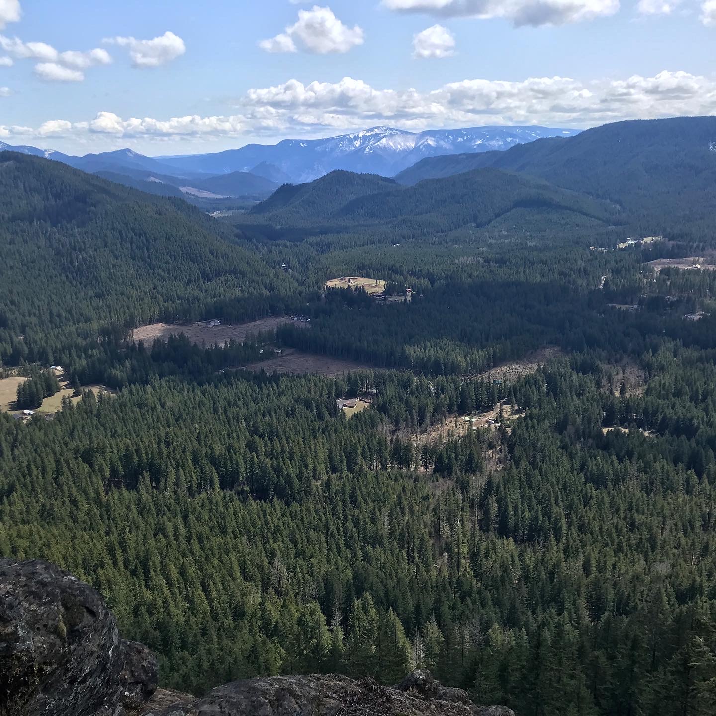
| Mt St Helens |


 |
| Near the end of the Lakes Trail |


