Showing posts with label Larch Mountain. Show all posts

Thursday, April 11, 2024

Hike: Wahkeena-Larch Mountain Trail, Corbett, OR

Getting There

The weather was amazing, the temp were in the upper 60s and blue skies for miles.

I took I-84 east and parked in the Multnomah Falls parking lot between the eastbound and westbound lanes. Plus, real or imagined, I'm guessing this parking lot is "safer" due to high turnover and cameras.

The lot was about 1/2 way full, plenty of open spots.

The Hike

Length: 8.01 mi
Elev. gain: 2,293 ft
Moving time: 3:23:09
Avg pace: 25:21
Calories: 2,052
Total time: 3:51:28
Type: Out and Back


Now that the time changed to Daylight Savings in March, I can get a late start and not feel rushed to beat the sunset. I decided in the late morning that I wanted to go for a hike. I'm fortunate to have the time and resources for a midweek hike.

Last time I was out (Hamilton) I got a bloody nose early into the hike. I was weary of it happening again so I packed tissue and supplies to deal with it. I also made sure not to strain too much. 

Even though I feel like I'm in pretty good shape, I was feeling a bit sluggish from the beginning. I was hiking faster that most other folks on the trail but it felt like I had weights on my feet. My heart felt good, not beating super fast or hard. I knew that I hadn't properly nourished my body. I pushed through the fatigue and continued past Lemmon's Viewpoint.

The trail damage is still an issue around Fairy Falls and above at one of the switchbacks: the entire hillside collapsed. There is a steep detour but it required care and caution.

I slogged up to the top where the Vista and Devil's Rest trails met. I stopped and had some trail mix and electrolyte water. It didn't work right away but I felt better. I decided to bail on hiking up to Devil's Rest. I was just going to hike to Multnomah Falls, back to the car.

When I reached the junction for the descent, I was feeling pretty good. I went up the Larch Mountain trail for awhile: I wanted to go to the spot I reached last March 2023. I didn't quite reach it but was close enough. I certainly wasn't going to have nearly enough time to reach Sherrard Point (some day).

On the way back to the Multnomah Creek junction, I decided to backtrack to the Wahkeena Falls trail. I had the time and energy and wanted to skip any crowds at Multnomah Falls.


I'd been seeing trail markers for a running race this past weekend. They routed the race past Vista Point so I took that route. The views are amazing, as usual.

Somewhere along my travels, I ran across these gorgeous flowers.

Arctic butterbur
Petasites frigidis (L.) Fr.


I felt strong the rest of way down. I remember seeing a guy at the Wahkeena Falls parking lot. I arrived with my big pack and InReach. I zoomed past him and hopped on the Return Trail. I didn't look back but imagined him being mind blown. LOL.

Saturday, March 18, 2023

Hike: Devil's Rest via Wahkeena Trail, Corbett, OR


Getting There

The weather was amazing, the temp were in the upper 60s and blue skies for miles. 

I took I-84 east and parked in the Multnomah Falls parking lot between the eastbound and westbound lanes. Plus, real or imagined, I'm guessing this parking lot is "safer" due to high turnover and cameras.

The lot was filling up but there were still a dozen open spots.

The Hike

Length: 12.05 mi
Elev. gain: 3,386 ft
Moving time: 5:27:28
Avg pace: 27:11
Calories: 3,295
Total time: 6:17:56

AllTrails map

Took advantage of the gorgeous weather and headed up to Devil's Rest via Wahkeena Trail (420). I managed okay with just boots/microspikes but would have been easier w/ snow shoes on the Devil's Rest Trail (420C).

I'd planned to loop back to the car via Multnomah Falls but when I reached the junction, I kept on going up the Larch Mtn Trail (441) for about a mile. 

Then, I doubled-back toward Wahkeena Creek and took the Vista Point Trail (419).

Wahkeena Trail


View from Devil's Rest

Devil's Rest Trail

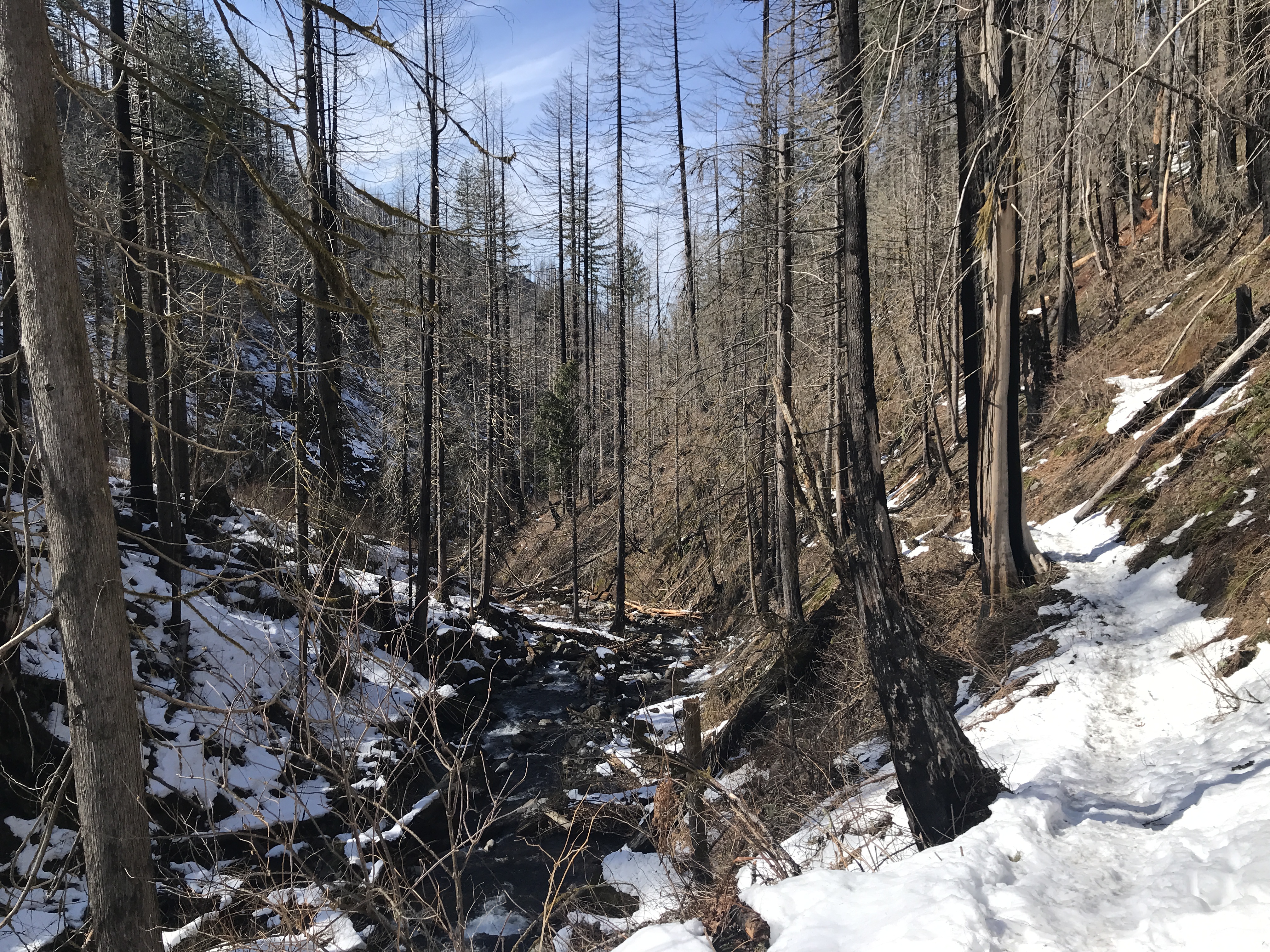
Larch Mountain Trail

Vista Point view


Sunday, June 6, 2021

Hike: Larch Mountain via Tarbell Trail, Yacolt, WA

AllTrails map


Length: 5.1 miles
Elevation Gain: 1,167 feet
Type: Out & Back
Steps: ~22,000


Getting There

I woke up wanting to visit a new trail in WA. I'd done Silver Star Mountain last year and it was tough. I remember seeing the trail for Larch Mountain via Tarbell Trail on the other side of L-1200 parking lot.

Some asshole tailgated me from Hwy 14 all the way passed Jamie's Dahlias. I was going the at least the speed limit and it was rainy and windy on Washougal River Road. I was hoping this dude would turn eventually but he dogged me forever. He was so close I couldn't see the top of the hood of the huge F250.

I was on edge but refrained from flipping the person off when they angrily passed on a narrow section of road. I secretly hoped to find this huge truck wrapped around a tree.

Despite the inclement weather, the parking lot on L-1200 was almost full. I found an open spot and took it.

I geared up and set out on Tarbell Trail toward Larch Mountain.


The Hike

It wasn't long on the trail before I started to hear gunfire. Not the just occasional pop-pop but pop-pop-pop-pop-pop-pop-pop-pop-pop; a lot of rounds. I heard what sounded like semi-auto fire a couple of times.

What started as a peaceful hike quickly became a bummer. Too much gun fire. I screamed into the void uselessly. I was immediately embarrassed by it released a tiny bit of tension. I passed a couple with a dog and I thought they gave me a weird look. In hindsight, I doubt they heard me and if they did it was so muffled, they didn't hear the words.

The transmission equipment at the top of the mountain makes the trek less rewarding somehow.

I found a tree and rock to sit on to rest for a bit before heading back down.

I took the mountain bike trail down for a bit before rejoining the trail. At 2952 ft and the 180 turn, the gun fire was louder.

I made it back to the trailhead in less than an hour. Not bad for a 5.1 mile hike. I think under 2hrs.

I didn't take many photos because the weather wasn't great for views and I was annoyed.

Top of Larch Mountain


Bridge across Grouse Creek

Top of Larch Mountain


Saturday, August 8, 2020

Hike: Larch Mountain Crater Loop Trail, Corbett, OR

Distance: 6.3 miles
Type: Loop

Elevation Gain: 1310 feet

High Point: 4055 feet

Duration: 2 hrs


The Hike

Nice little hike this morning at Larch Mountain. It's actually 3 different trails.

If you start at the parking lot and go clockwise, you'll start on the Larch Mountain Trail #441. Then, you'll take a right on the Multnomah Creek Trail #444. About a mile from end of the loop, you'll reach the intersection with the Oneonta Trail #424. You'll have to hike on the road about a 1/2 mile back to the parking lot.


The Map

https://www.alltrails.com/explore/trail/us/oregon/larch-mountain-crater-loop