Showing posts with label Boundary Trail. Show all posts

Sunday, August 21, 2022

Hike: Coldwater Peak via Boundary Trail, Toutle, WA

Getting There

Take I-5 from Portland to Castle Rock. It's 55mi from Kenton to the exit 49. There are a few gas stations to fill up here. 

It's 62 miles to the Johnston Ridge parking lot/trailhead and it takes about 1 hr. 


The Hike

Length: 13.98 mi
Elevation gain: 3,228 ft
Moving time: 5:47:00
Avg. pace: 24:49
Calories: 3,484
Total time: 6:42:58

Fitbit
Steps: 34,316
Calories: 4,419
Miles: 15.76
Active Mins: 147
Floors: 402

This was my 3rd hike for WTA's Hike-a-Thon and my 2nd visit here in '22. Last time I did the hike, I didn't quite make it to the top due to mountain goats and quite a bit of snow. I'd also gotten a late start and was pushing my limit on return time.

The Sunday weather was warm but virtually clear. I'd originally planned to hike to Loowit Falls but just before crossing under Harry's Ridge, I took a detour to Devil's Elbow to get a final look before I had to decide. I could see the waterfall or at least where it should be. I got a good look at the terrain and considered the temperatures, and opted to take a run at Coldwater Peak and get some elevation instead.

My previous visit was on July 2, 2022 and there were still large patches of snow. I wore microspikes from the Coldwater Lake Trail junction and beyond. Nearly two months later, I had dirt the entire way. I looked for the place where I met the mountain goats but it looked different without the snow and all the new vegetation.

At the summit, another hiker was having a snack so waved and kept going to the north end of top. I took off my pack for a bit and took some photos. 

When I did the hike on July 8, 2021, a thick cloud bank had rolled in and enveloped the peak and valley below MSH. The weather had been clear on the hike out there. I waited up there for 10-15mins but it didn't budge. About 1/2 way down to the Boundary trail, the fog rolled out. I considered going back up but I needed to start heading back.

This time the weather was amazing. I could see all the Cascade Peaks: Mt Rainier, Mt Adams, Mt Hood, of course Mt St Helens.

On my descent I passed a couple that were heading to the top but looked tired. I tried to be encouraging and cheerful and mentioned that "the Man of the Mountain will keep them company". If they didn't know I was referring the hundreds of white pasqueflowers that were growing on the mountainside, it might have sounded like a creepy thing to hear from a rando hiker. LOL.

My visit wouldn't have been complete without a stop at Harry's Ridge. There was a couple top of the ridge, the woman taking photos. I meandered around for a bit and they eventually started on their way. I had the place to myself for awhile. A group of four were winding their way up the ridge but not quickly. I was so quiet and peaceful. Just the buzzing of a few flies, the blowing of the wind but nothing else.


Gallery

Coldwater Peak

Coldwater Peak

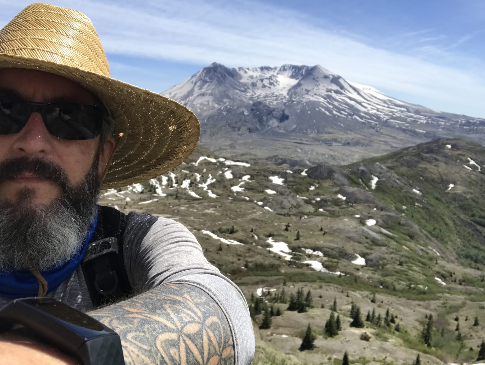
Selfie w/ Loowit

Mt Rainier

Mt Rainier

MSH

Mt Adams

St Helens Lake & Mt Adams

Johnston Ridge

Mt Adams

Coldwater Peak


Thursday, July 8, 2021

Hike: Coldwater Peak via Boundary Trail, Harry's Ridge, MSH, Toutle, WA


AllTrails maps
 

Getting There

Take I-5 from Portland to Castle Rock. It's 55mi from Kenton to the exit 49.

There are a few gas stations to fill up here. 

It's 62 miles to the Johnston Ridge parking lot/trailhead and it takes about 1 hr (if you're going the speed limit ;). 

This lot had quite a few cars compared to the last few visits. I parked hear the trailhead sign, put my window shade up, geared up and set out.


The Hike

Length: 13.05 miles
Elevation Gain: 3,117 feet
Type: Out and Back

Even since I hiked to Harry's Ridge I've been attracted to this peak. I saw a high spot from the parking lot and mistaked it for Coldwater Peak. It's actually behind the one I thought it was.

Last time I only got a little ways up before I got to big snow patches. I knew I wanted to come back to 'conquer' this climb.

My interest was renewed when I saw it again with my mom on our trip out there.

The weather was great and not too warm.

The first part of the trip is relatively easy, to the bottom of Harry's Ridge. From there, I continued on the Boundary Trail up and up.

The snow was long gone, esp. since the heat dome event. 

When I got to the top of the first section, there were a couple of women hiking towards the peak and a guy coming back down the trail. We chatted for a min about where to get paper trail maps, etc. The girls let me go ahead since I was traveling a bit faster. I didn't confirm but it looked like they had camping gear and were heading to Mt Margaret or The Dome.

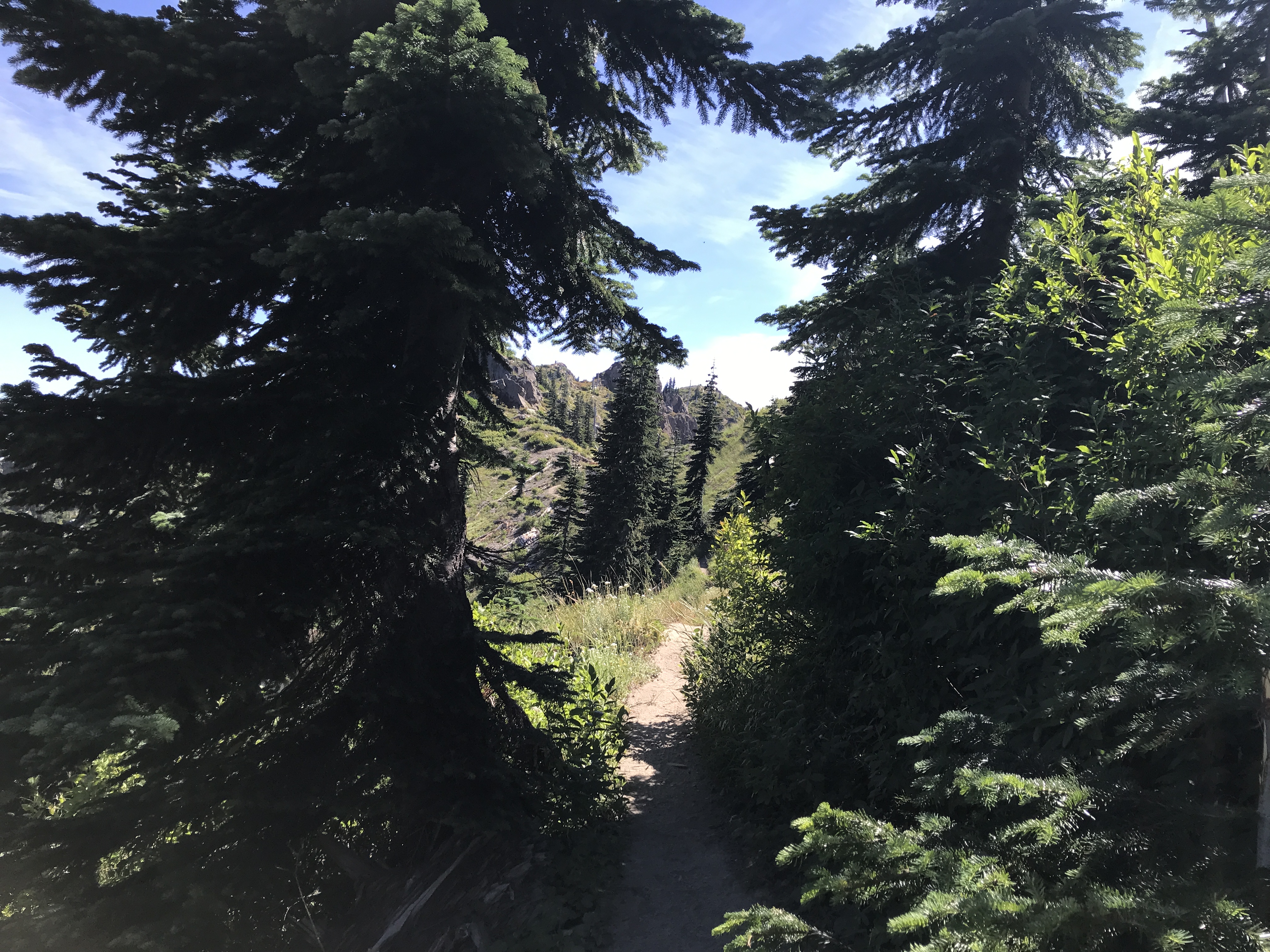
The trail gets really interesting as you get closer. Esp. the steep section before going through the rock.

At the shoulder after the rocks, there is a trail junction for the Coldwater Lake trail. I noticed there was signage about an upcoming Trail Run.

I continued on the trail but was feeling a little uneasy. This was going to be the longest hike to date. Did I have the energy, stamina to go up and back down?

I reached the trail junction for the trail up to the peak or continue on the Boundary Trail. I figured I'd go as far as I could, maybe get some views of St Helens Lake below. Definitely epic terrain.

After the first couple of switchbacks, I looked toward the pass and saw the two girls hiking. I thought, Oh Good, some company. I bit further up I looked for them again and saw two more people and a dog. This gave me the motivation to make it to the peak. 

Murphy's Law: While I was ascending, the clouds or some fog was rolling in. It didn't look like a storm but I knew my view of MSH was going to be impacted. Actually the cool air was refreshing.

I laughed out loud that I'd made it all this way only have nature block my view~! I knew my views from lower down were just as amazing as from on top. (Guess I'll have to go back!).

I waited for about 15mins while exploring. I fully expected to see the two girls (or the other hikers) but they never showed. (Guessing they kept going to The Dome). The cloud/fog never receded so I started my descent.

About 1/2 way down, it looked like the fog was clearing! Dammit! :D I thought about turning around and going back up but decided it was fate and I still had a decent hike back. I also agreed to take a spin up Harry's Ridge if I was feeling strong.

I took another video on the way back.


As I got closer to Harry's Ridge, my criteria changed from "if I was feeling strong" to "if there are people up there" (i.e. I'm not alone). (Weird that I seek solitude but also that seeing other is comforting.)

There was a large family hiking down as I was going up.

I had the top to myself and was able to just stand there and stare in all directions. This is what it's all about. I do a lot of hiking where I'm moving the whole time. It was nice to stop and enjoy the scenery.

I really need to do some hike-in camping so I can really "stop to smell the wildflowers".

Making my way to Coldwater Peak

Looking east to Mt Adams

Fog/Clouds rolling in

Panorama of St Helens Lake

White Pasqueflower (Anemone occidentails)

Lots of cloud cover from Coldwater Peak

Another view of St Helens Lake

Approaching the summit, heavy clouds

More view of the top of Coldwater Peak

Volcano monitoring equipment

Looking W/SW at Johnston Ridge & Coldwater Lake

Panorama looking south towards MSH and Johnston Ridge

obligatory selfie from the top

Looking below the peak; Spirit Lake in upper left

Closer view

Boundary Trail sign (Trail Run July 10/11)

Clouds have cleared, MSH, junction to Coldwater Lake trail

Looking back at Coldwater Peak <3

Hole in the Rock!


Now MSH is in full view (again!)

Panorama of Coldwater Peak, St Helens Lake, return trail

Epic view of Spirit Lake, Harry's Ridge and MSH


Friday, June 4, 2021

Hike: Harry's Ridge Trail, MSH, Toutle, WA


AllTrails map

Length: 7.8 miles
Elevation Gain: 1,584 feet
Type: Out & Back
Steps: ~22,000


Getting There

I woke up and started coding but was feeling restless. The weather was super nice and the day before kind of sucked. I called my mom to go on an impromptu field trip. (The EAAC trip to Johnston Ridge is $1000!). She had an appointment. Well, the idea was already in my head so I went by myself.

Not much traffic the entire route. The Hummock Trail parking lot only had a few cars. Some of the lookouts were empty, and the Johnston Ridge parking lot had about 20 cars, only 5 at the trailhead.

The Hike

The Boundary Trail is pretty mellow until it starts to drop down for Loowit, Devil's Elbow, Truman Trail. Then, the trail narrows and you have to got through some downed trees and snow.

Once you get up to the S Coldwater Creek, it flattens out again. There's a nice bridge but otherwise, just basic structures on the trail.

When I got to the junction for Harry's Ridge/Coldwater Peak I tool the "left", the peak. It was steep route and I was very aware of the time. I had 1 hr to cover 2.5 miles (according to the trail signs.) I started up the trail and was making progress until I hit the first snow patch. I found my way to the other side and back on the trail. I happened again and I found the detour. Suddenly, I found myself with nowhere to go... the trail had disappeared. I saw some track in the snow on a steep grade. I was tempted but not wise given the. time of day and not knowing what challenges await beyond this one.

I heard voices and thought "people!" Maybe I'd overlooked a detour and these hikers were coming back down. (Turns out it was hikers that had come after me and had run into the same snow patches and had turned around.).

I followed them back and chatted about the dead end trail. I wished them well and went to climb up Harry's Trail.

There were 3 older guys up there. One guy complimented my hat. Cool cats!

I ventured a bit beyond the monitoring equipment. On the way back up to the equipment, I chatted with the dudes some more and wished them a great rest of their hike.

I only saw two people on the way back: One guy that was close to the Harry's Trail turn and much closer to the Ridge (a woman in a colorful, tie-dyed outfit).

I was glad to return after coming here twice to snow shoe. I realized I didn't go very far - LOL.

The area seems "smaller" now. Norway is 11 miles but doable. I'd like to come back for that from this side or the other road. Also, I want to try the Coldwater trail again; redemption for my outing with Nick and Simon? years ago!.