Getting There
Take WA-14 from Vancouver, WA east toward N Bonneville.
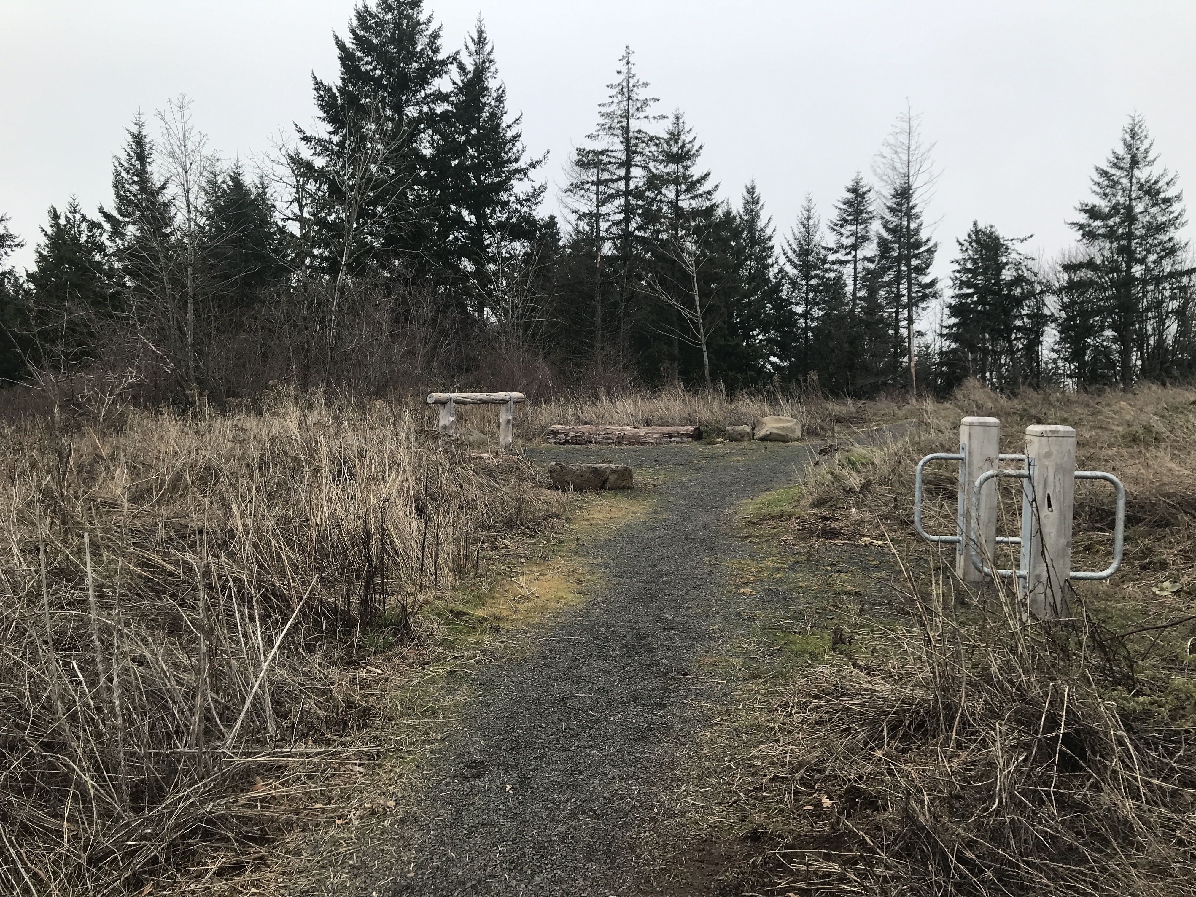
Just after Doetsch Ranch you'll see the Ranger Station on the north side of the road just before the Beacon Rock parking lot, then another road across from the bathrooms. The road winds up the hill for a bit.
The road was opened and clear. There were only 3 other cars in the lot.
The Hike
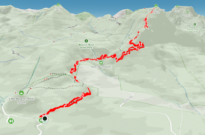
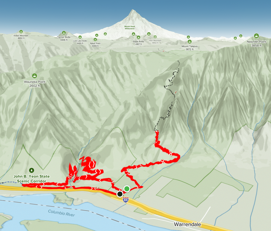
Length: 6.09 mi
Elev. gain: 2,224 ft
Moving time: 2:45:13
Total time: 3:09:10
Avg pace: 27:08
Calories: 1,661
Despite the rainy forecast, it looked like the wind was light so figured I'd take another run at my favorite mountain. When I drove by the trailhead last week, I saw the road was clear (it had been closed at the end of December).
The trail was in great shape all the way to the top. Just two weeks ago the snow and ice was prevalent from the start; I wore microspikes the whole time.
I saw two pairs of hikers and a solo hiker with a dog; accounting for all the cars in the lot. I had the place to myself!
There was a bit of snow in the last 50m or so. It was soft and slushy and easy to punch through.
I only saw one tree that was broken across the trail and you have to go under.
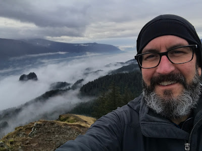
The fog was dense for the first 1000 ft. I didn't notice emerging out of it on the ascent but when I got to Little Hamilton, I could see for miles in each direction.
I photographed a raven preening its partner.
While taking photos on the descent, I heard voices from above. Two guys
had done the Hardy Creek/Saddle Loop. If they'd started after me, they
were making amazing time. Otherwise, someone was parked on Hwy 14. IDK.
The scenery was spectacular with fog in the Gorge. I loved how only the top of Beacon Rock was visible.
Epilogue: I think I've reached a pretty good level of hiking fitness. Of course, always room to improve but I felt great on the descent and when I got home. Not residual muscle soreness or issues with knees, ankle (more than usual), or IT band/hammies.
I got some Nuun tablets at New Season but have yet to try them out. I got another big bottle of Gatorade for this hike. I really want to try coconut water but it can got back quickly. Anyway, I'd like to try something other than pure water in my hydration pack.
Edit: From my limited research, putting any BUT water in hydration packs is a bad idea. I'll stick to using my water bottle for powders and tablets.