Getting There
I took SW Farmington Road (Route 10) west from Beaverton to Route 219. Go right (north) for 0.7 miles, then left (west) on Unger Road for 3 miles to SW Dixon Mill Road. From here, it's 2.3 miles to the park parking lot.
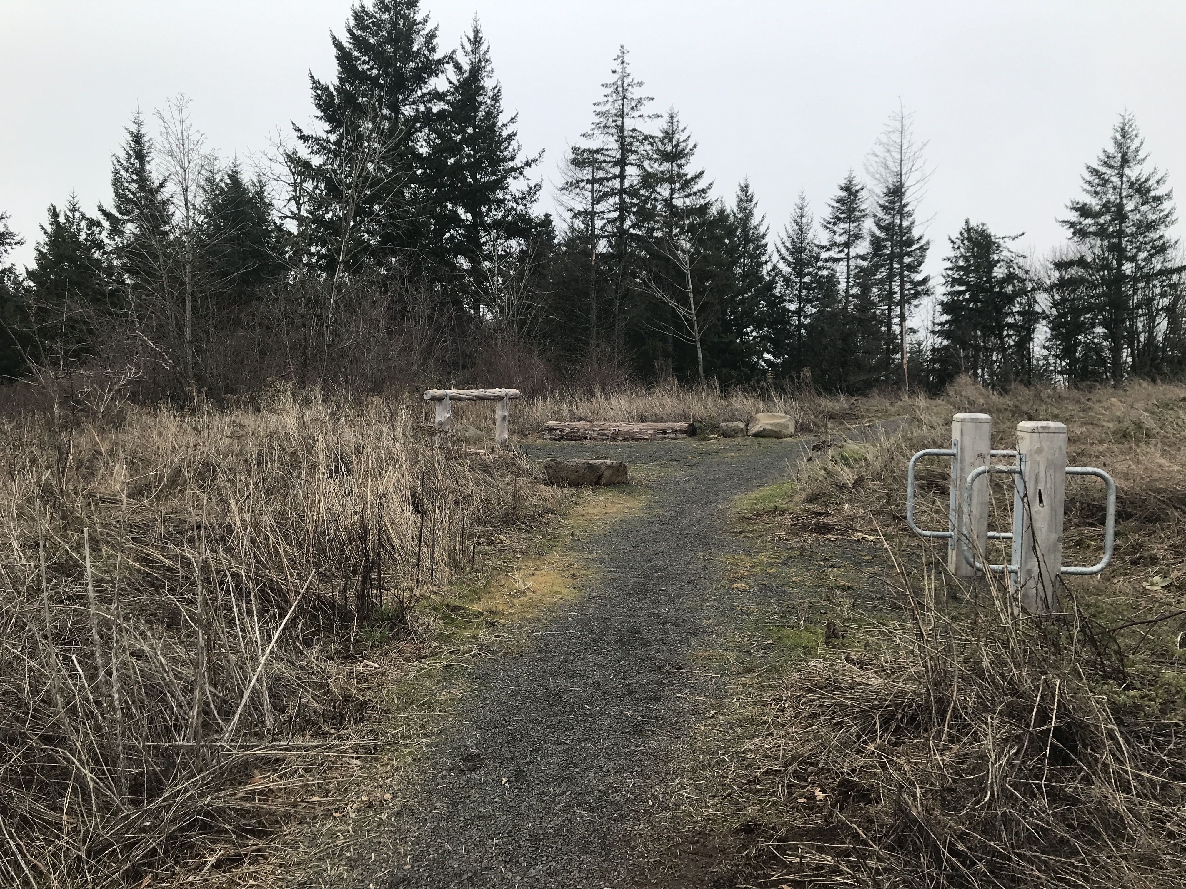
This was my first visit to Chehalem Ridge Nature Park. Looks like the
parking lot off SW Dixon Rd is new (or newly redone). Several dozen
parking spot, including handicap. 4 individual bathrooms, covered picnic
area, horse trailer pull-thru parking near the entrance.
The park is mixed use: hiking/walking, bikes, horses.
The Hike
Length: 10.14 mi
Elev. gain: 883 ft
Moving time: 2:51:46
Avg pace: 16:57
Calories: 1,727
Total time: 2:58:02
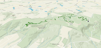 |
AllTrails map
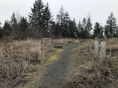
(left: Madrona Trail terminus; right: Trailhead)
|
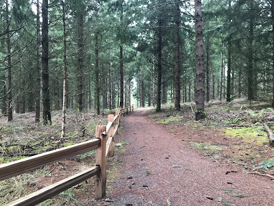
This place is suitable for all fitness levels. There are long switchbacks so elevation gains are gentle throughout. Each trail junction is marked with a sign: map of the area, red dot for "You Are Here", which trails are open to hikers, bikers, and horses, and the locations of each bench to take a break & enjoy the surroundings.
 |
| Example |
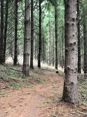
I took the Woodland/Ayeekwa/Witches Butter Trails to the Chehalem Ridge Trail, then partly on the Madrona Trail. The elevation drops about 350 ft through a series of switchbacks. I chose not to go to the end. On my way back, I took the Mampaɬ Trail up to the top of Iowa Hill.
It was overcast but looks like great views of the farmland below.
I returned to the parking lot on the Timber Road, then the Woodland Trail. Just a bit over 10 miles and about 900 ft of elevation gain.
 |
| Chehalem Ridge Trail |
 |
Chehalem Ridge Trail
|
 |
| Iowa Hill |
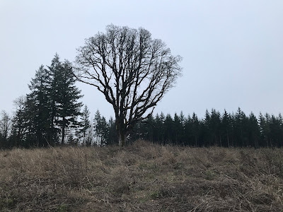 |
| Iowa Hill |
 |
| Iowa Hill |
 |
| Iowa Hill |
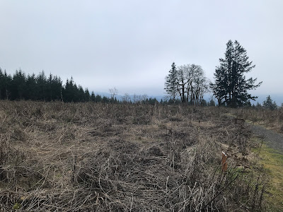 |
Iowa Hill
|
 |
Witches Butter Trail
|