
Getting There
I was on my way home from snowshoeing around Mt Hood. I'd stayed the night in Government Camp and visited the Timberline Lodge for coffee. Unfortunately, the restaurant was closed until lunch. I grabbed a to-go coffee from the Day Lodge. I'd thought about snowshoeing around Trillium Lake or Mirror Lake but I was feeling pretty sore from the day before.
So, I headed down Hwy 35 to Parkdale with hope of exploring the Parkdale Lava Flow. Ironically, I strapped on my snowshoes again and started down a steep slope (the clearing for the power lines) because the road to Laurence Lake was still closed for winter before it crosses the top side of the lava flow. Stupidly, I didn't take pictures because I panicked a bit. When I reached the bottom of the hill, I noticed cross-country ski tracks but also a variety of animal prints that seemed to go in the same direction as the skier. There were probably dog tracks but I thought I saw bear and cougar tracks as well. I didn't have bear spray or even water and was feeling a bit vulnerable due to sore muscles. To explore the south side of the lava flow, I would have had to bushwhack through a grove of trees and there were too many other unknowns.
I bailed and crossed the Columbia River at Hood River.
---
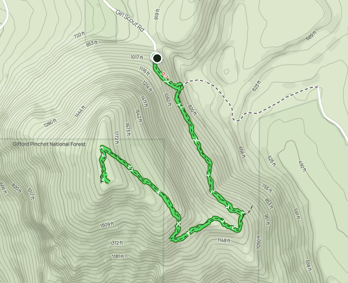
From WA Hwy 14 at Home Valley (just east of Carson), take Wind Mountain Road. Follow for 1.0 mile and take the right to stay on Wind Mountain Road. Go another 0.4 mile to Girl Scout Road (on right) and continue 0.3 mile to the trailhead.
There's a clearing before the actual trail where the dirt road drops down. Technically, there's room for 1 or 2 cars across from the trail but best to park at the clearing.
There was a pair of hikers with a dog parked next to me. I asked about parking permits for this trailhead and they said there wasn't one. Woohoo!
The Hike

Elev. gain: 1,138 feet
Moving time: 1:18:12
Avg pace: 30:36
Calories: 790
Total time: 1:44:38
I had enough energy for a hike and had purposefully brought my new Vasque over-the-ankle boots. They did me well on the Dog Mtn trail but also hurt my ankles a bit.
The trail is steep and never really lets up but it's also only about a mile and quarter. This was my second visit up this trail and I had the place to myself.
It wasn't until near the top that I passed a couple on their way down. I made it to the first sign about the Spirit Quest Site and a lot of energy in reserve. I tiptoed my way through the area and grabbed the view to the west. I could see Hamilton Mtn and Beacon Rock.
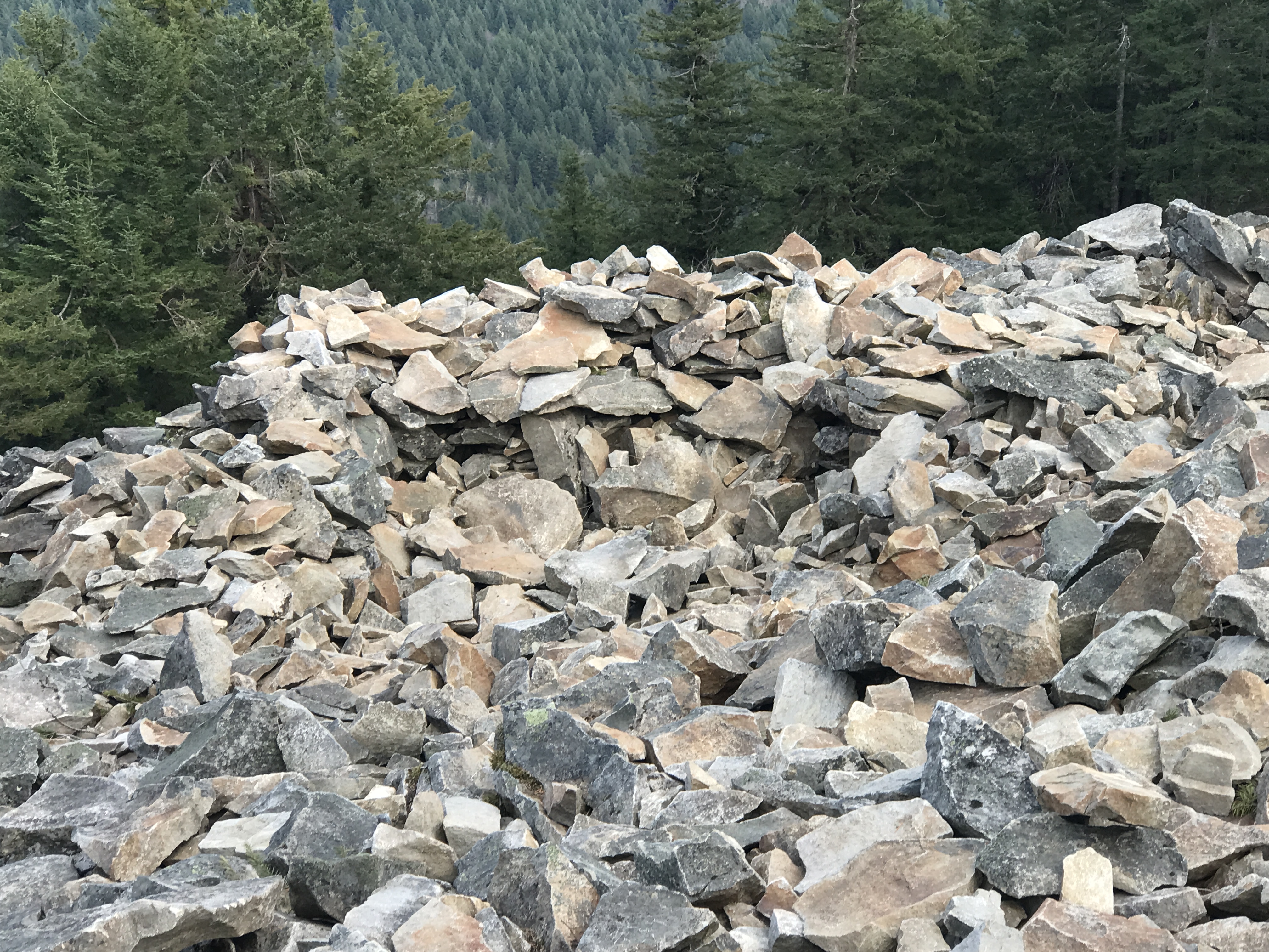
I heard some rustling on the rock pile side (east side facing Dog & Augsperger Mtns). I waited for a bit to give them some space. Shortly, a guy came around the corner. I said hello and we chatted about hikes in the area and how beautiful this spot was. I wished him well and continued to the east part of the summit.
My face was beet red and I was feeling comfortably tired. I started my descent and noticed the guy I'd talked with was still sitting there, enjoying the sun and scenery. I quietly wound my way back to the main trail.
This was a perfect way to conclude my long weekend.
 |
| Home Valley, Columbia River, Beacon Rock SP |
 |
| Mt St Helens |
 |
| Home Valley, WA |
 |
| Dog Mountain and rock piles |
 |
| Rock piles and Columbia River |
 |
| Mt Adams |
 |
| Top of Dog Mountain |