Getting There
Take WA-14 from Vancouver, WA east toward N Bonneville.
Just after Doetsch Ranch you'll see the Ranger Station on the north side of the road just before the Beacon Rock parking lot, then another road across from the bathrooms.
The road up to the trailhead was closed and had not been plowed since the recent snow storms. There were a few cars next to the Beacon Rock trail, which was also closed.
The Hike

Elev. gain: 1,378 ft
Moving time: 3:27:19
Avg pace: 37:30
Calories: 2,093
Total time: 3:41:50
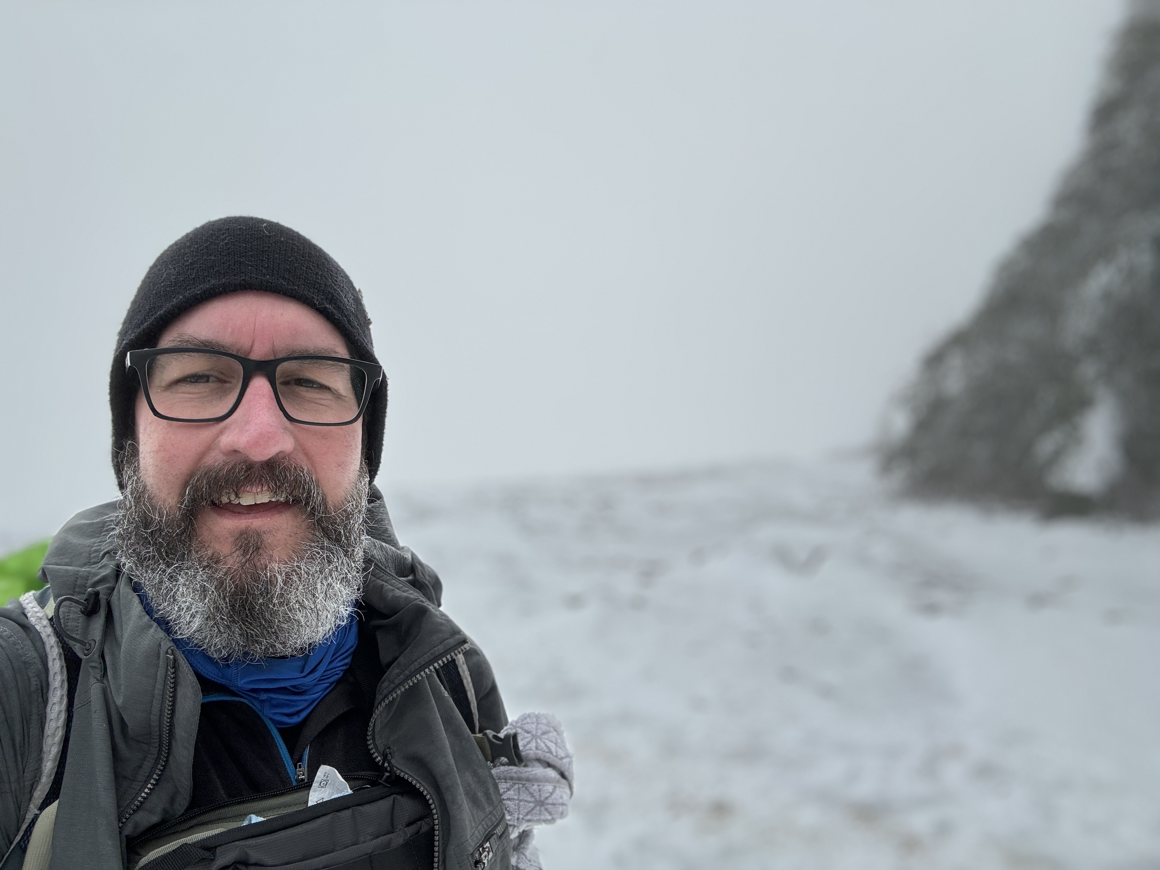
There was snow and ice on the road to the trailhead but I managed to hike quite a ways up the trail before I had to put on my microspikes.
I passed a guy and dog coming down the trail that just had urban spikes (mini spikes). He was struggling on the descent.
It took my about an hour to get to the lookout just past Rodney Falls; slow going!
I kept forging ahead despite the slow progress. The snow drifts were at a 30 deg angle with footholds from previous hikers that required care and checking each step.
The weather was warm, around the mid-50s, which was great for comfort but terrible for the snow. It was a mix of hard-pack, ice, and watery slush. The footholds seems to be getting unstable.
At the first big turn before the switchbacks up to Little Hamilton, there was a long stretch of sketchy terrain. I hesitated but took my time. I remember having troubles here last winter 2023. About halfway across I stopped and decided I didn't want to come back through here when snow was melting.
 |
| Rodney Falls |
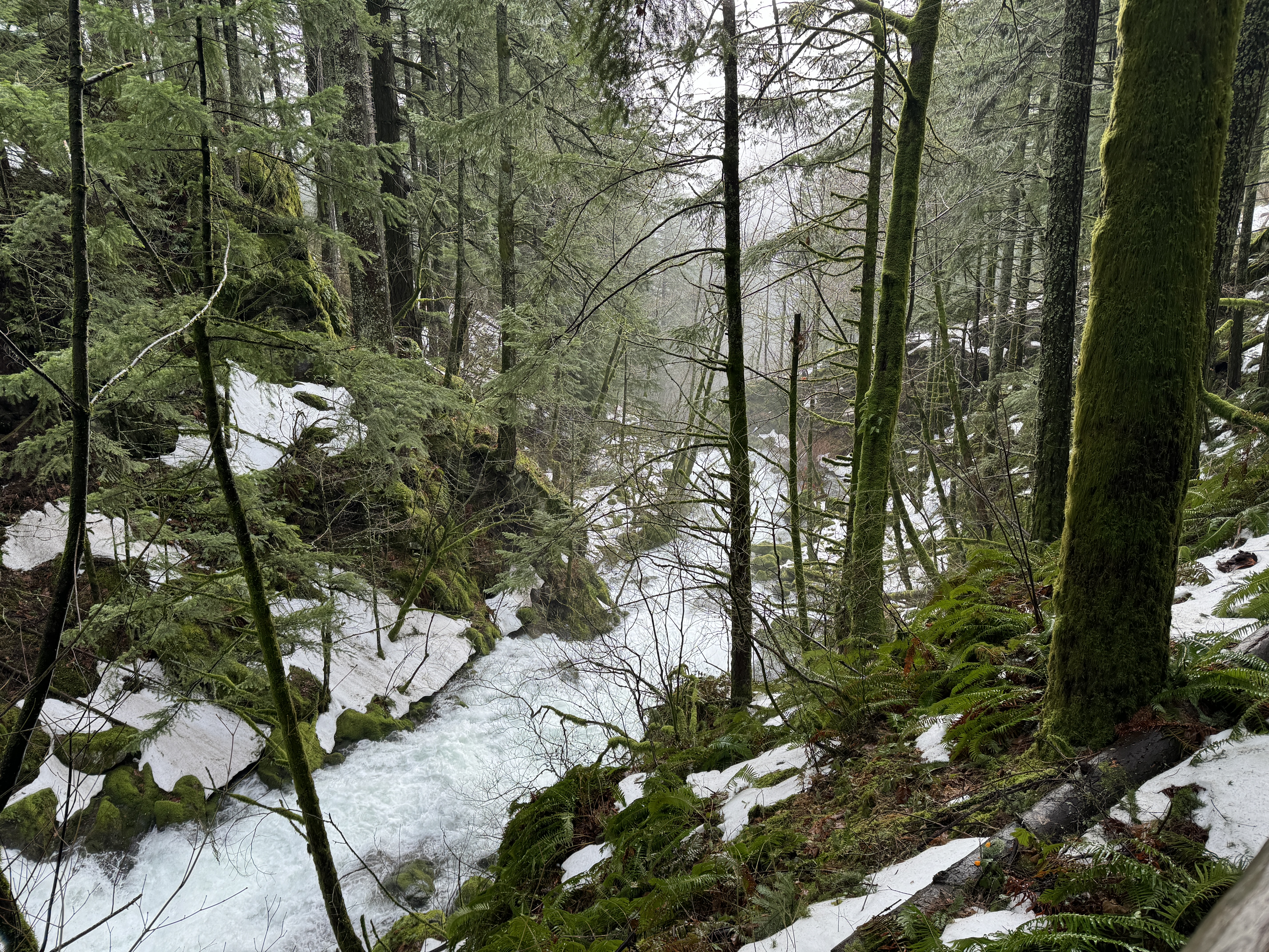 |
| Lower Hardy Creek |
 |
| Snowy trail |


I started back down, enjoying a leisurely pace. I took the Lower Hardy Creek trail for a little bit, just because. I stopped when I could hear the rushing water of the creek. It was really peaceful and I enjoyed the serenity and sounds all around me.


 |
| Another of Rodney Falls |

 |
| Icicles coming out of the cliff face |

After Rodney Falls, I encountered some more hikers heading up.
I stopped at Hardy Falls and snapped a couple photos.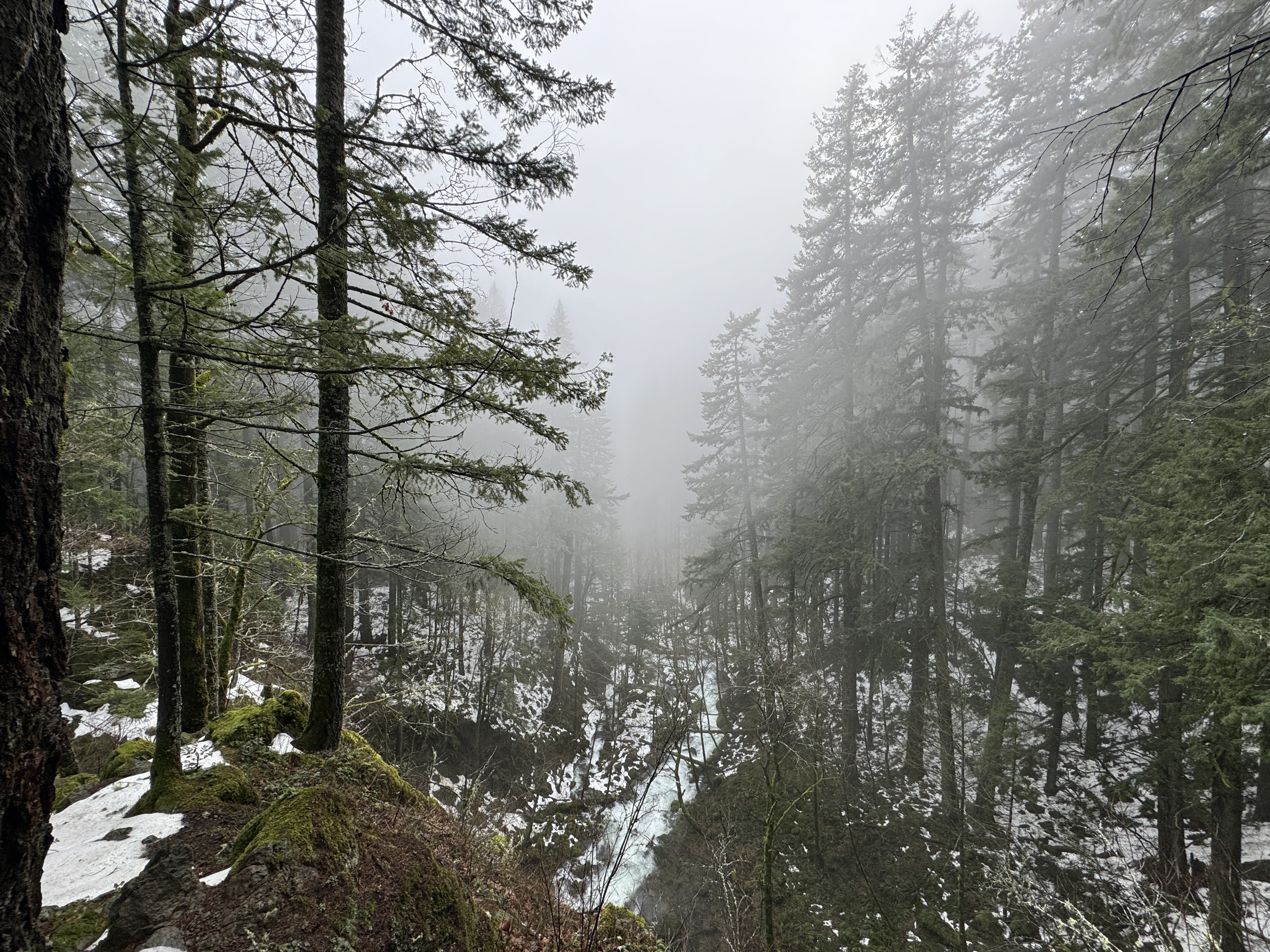
 |
| The bathroom at the trailhead :D |
I continued back to the car on Hwy 14. I kept my microspikes on until there was only bare pavement. My boots and spikes were nearly clean of dirt and debris. While I didn't come close to reaching the top, I was glad to wander around my favorite mountain in the snow, winter.
It seems like overkill for most of the hike but crampons might be useful to get through those tough section and actually reach the summit. Hmm.