
Showing posts with label Coyote Wall. Show all posts

Thursday, March 27, 2025

Hike: Coyote Wall Labyrinth, White Salmon, WA

Getting There

I got an early start, about 6am, from Portland to Hood River. I took I-84 and stopped at McDonald's for a breakfast sandwich.

I crossed the toll bridge to the WA side of the Columbia River and drove into Bingen. I continued another 4.5 miles on Hwy 14 East to the Syncline Trail - East Trailhead at the intersection of the old Highway 8 and parked in the small gravel lot.

I was the first to arrive at around 7:40am but everyone showed up by about 8am. We had donuts and milled around for a bit. Sometime around 8:30am, we got into a semi-circle and did the safety talk. I gave a brief overview of the shovel.

The Hike

Distance: 2.94 miles
Elevation Gain: 733 feet
Hightest Elevation: 828 feet


This was my second work party as an ACL. I'm counting this as a hike since it was at least a couple of miles of travel and some elevation gain. I chose to not count my previous work party at Lyle Cherry Orchard between we worked on the lowest section of the trail, not far from the car/trailhead.

I thought the East Trailhead would get us closer to the trail than the Coyote Wall Trailhead to the west but it's about the same walk on the old Highway 8. There is a lot of debris on the defunct road from the blasted rock crumbling down. At one point, the path through the rocks is only about 8" wide.

It was cold in the morning and I was layered up but I was stopping to shed a layer only after walking for 5 mins. I was much more comfortable on the ascent to the work site on the Labyrinth Trail. Our job for this work party was to "armor" the muddiest sections of the trail. "Armoring" means placing basketball-sized rocks in hole dug into the tread, then covering with small rocks and dirt. The trail is used by hikers, mtn bikers, and horses.

My team of 4 was assigned to the topmost section of the trail we intended to address. I had never done this kind of work before so I was trying to soak in the brief instructions and watch what an experienced volunteer was doing. We had plenty of examples to look at when we hiked up to our work site. However, we started placing small rocks as stepping stones, insufficient.

When James came by to check our progress, he explained that we needed to dig up the rocks we'd buried and use much bigger pieces. He also said it takes time to learn how to do this kind of work and that it takes practice. I was still learning but it started to make sense as I completed my "section". 

Fortunately, what we did was a big improvement from the mud but I wasn't as happy with the result. Two of my crew was brand new, it was the very first work party, so I tried to be as positive as I could but still offer advice.

There was another section that James wanted us to tackle. He and I went up there to evaluate the trail. The long-term volunteer finished his section and moved up. I followed to show him what James had suggested. Ed said we didn't need to armor the trail, just remove the berm so the trail would drain. This was an example of the CL giving suggestion but allowing seasoned trail workers to implement what they thought was a better solution.

We finished the task and started back down to join the rest of the crew.

We stopped to stage rocks next to the trail for the April work party to use to armor another section.

It was finally time to call it a day. We started back to the trailhead.

I had a chance to talk with James about what I thought went well and where I could improve. He said I was a natural and gave me kudos for my leadership on this work party.

It was great to hear. I feel like I will grow into this role and be successful. I will certainly have some challenges with potentially challenging people I might have to coach.




Friday, January 24, 2025

Hike: Coyote Wall, Bingen, WA

Getting There

Another later start. I kind of had a plan to stay in the Gorge but wasn't sure. My initial plan was to hike Dog Mountain, however, after I crossed the bridge in Hood River, my mind immediately went to the work party at Lyle-Cherry Orchard. 

I was driving east on Hwy 14 and passed the Coyote Wall trailhead. I'd seen this place on Instagram posts (or maybe Portland Hikers on FB). New plan. I did a u-turn and drove back to the parking lot. It was about 75% full but no one was around. I looked for a trail near the parking lot but didn't see anything. 

I geared up, stowed what I could under the backseat and set out on the frontage road.

The Hike

Length: 7.28 mi
Elev. gain: 1,644 ft
Moving time: 2:44:00
Avg pace: 22:32
Calories: 1,445
Total time: 3:23:39


The paved frontage road had rocks and boulders from the rocks above. I knew there must be a trail around here somewhere! Eureka! I found it. I'd stopped that signage at the trailhead and knew there was a network of trails to choose from. 

As I started my ascent, I noticed some hikers coming from the west. I figured they'd done some kind of loop so I went right and started what I guessed was a counterclockwise loop. The trail was pretty muddy and I saw tire tracks immediately. A few hundred yards above me, I noticed some hikers, so I knew I was on the right path: I didn't want to stray too far east.

From down below, it was difficult to see the "top", if there was one. Upward and onward.

From the USFS website for this area:

"A massive formation of columnar basalt, Coyote Wall is one of the Columbia River Gorge's most recognizable features from all directions. Known around the Gorge as "The Syncline", local amateur geologists enjoy debating its proper geological classification over a craft brew.

From Coyote Wall Trailhead, bikers, hikers, and riders can access a 30+ mile network trails with an open feel and breath-taking views. Trails include:

Mountain bikers love the range of mountain biking challenges which reward those who climb the trails with amazing panoramas of the Gorge! Naturalists can appreciate the diverse population of rare and sensitive plants found here. The thin, fragile soils were created by Missoula floods, and the habitat remains important for wildlife species.

Please avoid the area directly below Coyote Wall to the west, as it is private land. Trails in the area have been gradually rehabilitated in recent years according to a long-term site management plan, so user-created trails that once damaged natural resources are being decomissioned. New signs make it easy to stay on official trails, but use maps with caution as most are now out of date. (This planning map shows temporary names used during the planning process to label approved trails.) Today's signs do not match the shorthand codes, but they do make it easy to stay on official trails. Please respect signs indicating decommissioned trails and sensitive areas under restoration."

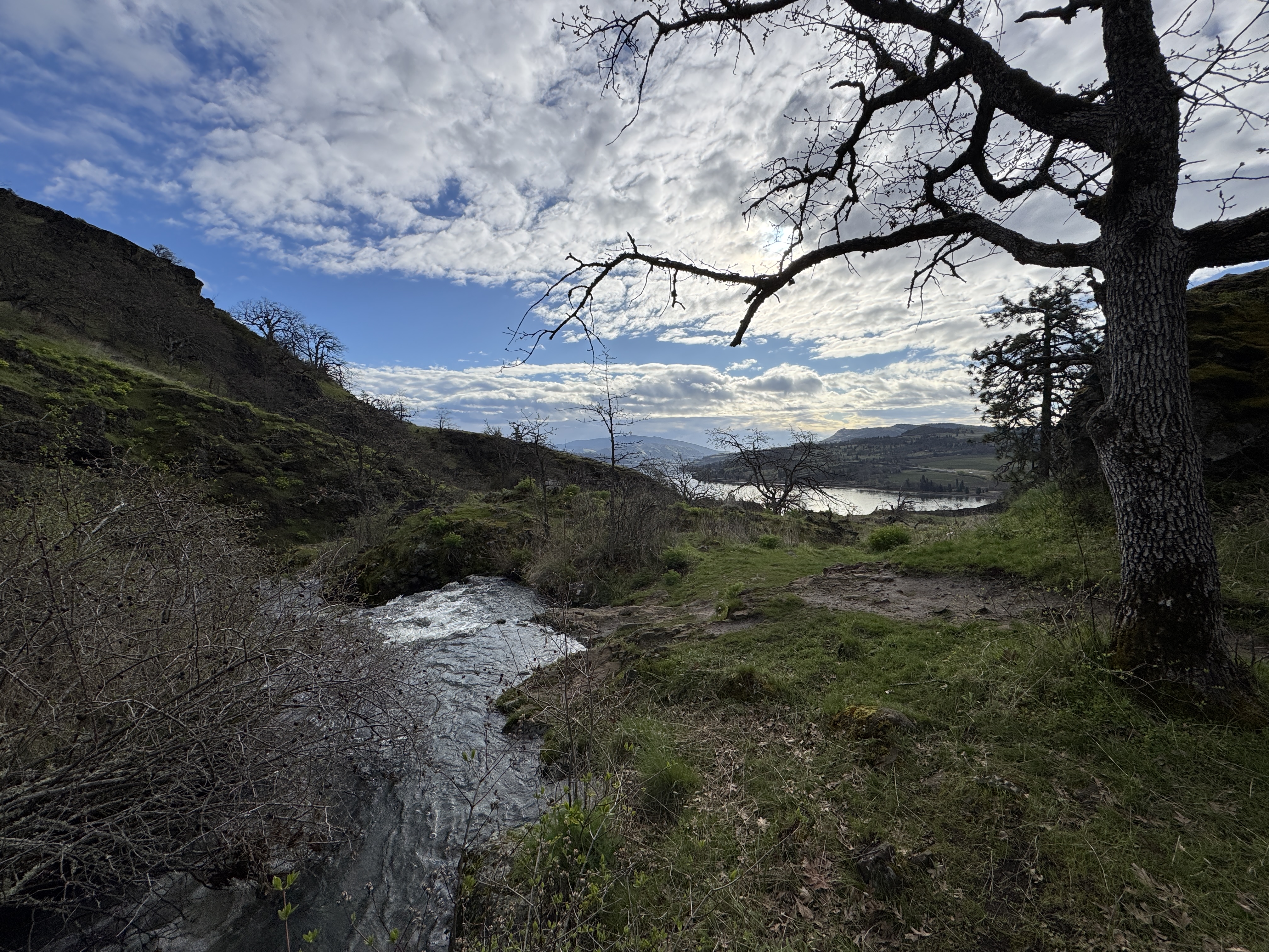
When I reached the highest point of the loop, I noticed some hikers above me. I thought I could get a bit more elevation and maybe better views. As I continued further, the trail gets close the edge of the Coyote Wall cliff. I saw on the trail map that there is a loop. Unfortunately, part of it on private land. I wasn't sure if this just a technicality and the public could pass through.

I kept pace with the couple of hikers I'd seen earlier. Eventually, the trail disappears into the trees. I was surprised when I saw them coming in the other direction. I was hoping to follow them on the loop.

When I reached Atwood Road, I realized the sun was getting lower and if I continued, I'd probably be descending below the wall in darkness. I decided it was better to go back the way I came, enjoy the views and sunshine. Wise choice.

At some point, I caught up with those hikers. I didn't want to crowd them so I picked an alternate route down. About 30 mins later, I caught up again when the two trails converged. I stopped to take some pictures and let them gain some distance.

I descended along the Coyote Wall Trail #4428 (Co1), zigzagging through the rocky switchbacks. Several folks were coming up the trail.

I was happy to reach that frontage road again. I still had plenty of sunlight. Great to hike somewhere new.


Post Hike

I knew I was gonna stay the night in Hood River so I headed east on Hwy 14 to cross the river near The Dalles. I'd gone this route when I left the Lyle-Cherry Orchard work party. The town of Lyle was further east that I'd remembered. There was huge Trump 2024 billboard. Ugh! Fuck that guy and his crony oligarchs.

Anywho. I continued on my way. Oddly, I didn't even notice the Lyle-Cherry Orchard trailhead. I think when I went this direction last time, I'd taken the road towards the dam but turned around and went further east past Maryhill and crossed over the Hwy 97. This time I kept going south on Hwy 197. When I reached Dallesport Road, I stopped dead in my tracks: the setting sun was behind Mt Hood.

I drove a ways west to try to find a better location to take a picture with the foreground. By the time I got there, the sun had moved but it was still beautiful.