|
| AllTrails map |
Getting There
Take NW Skyline Blvd north from NW Germantown Road. The Skyline Blvd Trailhead is 1.6 mi and a parking are available on right (east) side of the road.
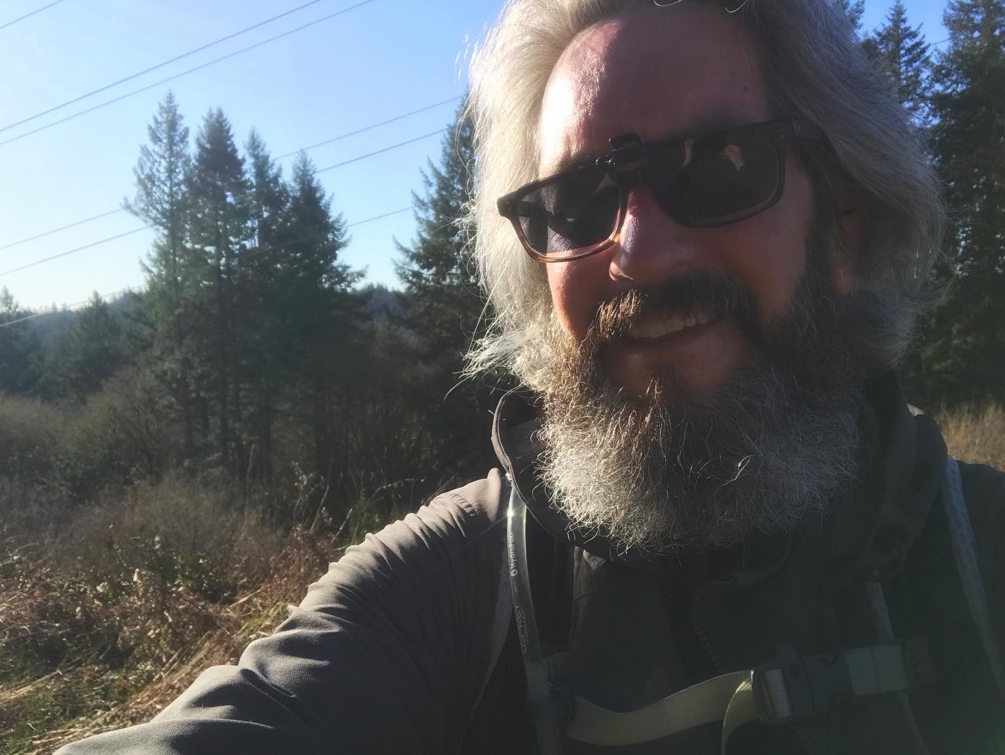
It was such a nice day in March, it seemed like people were out and about in St Johns as I was approaching the bridge. It was already ~4p when I got going. The trailheads on Germantown Road had lots of cards but weren't full. The Skyline trailhead only had two cars.
The Hike
Length: 5.31 mi
Elevation gain: 951 ft
Moving time: 1:45:01
Total time: 1:48:19
Avg. pace: 19:47
Calories: 925
Calories: 2,581 (Fitbit)
Steps: 11,518 (Fitbit)
Floors: 127 (Fitbit)
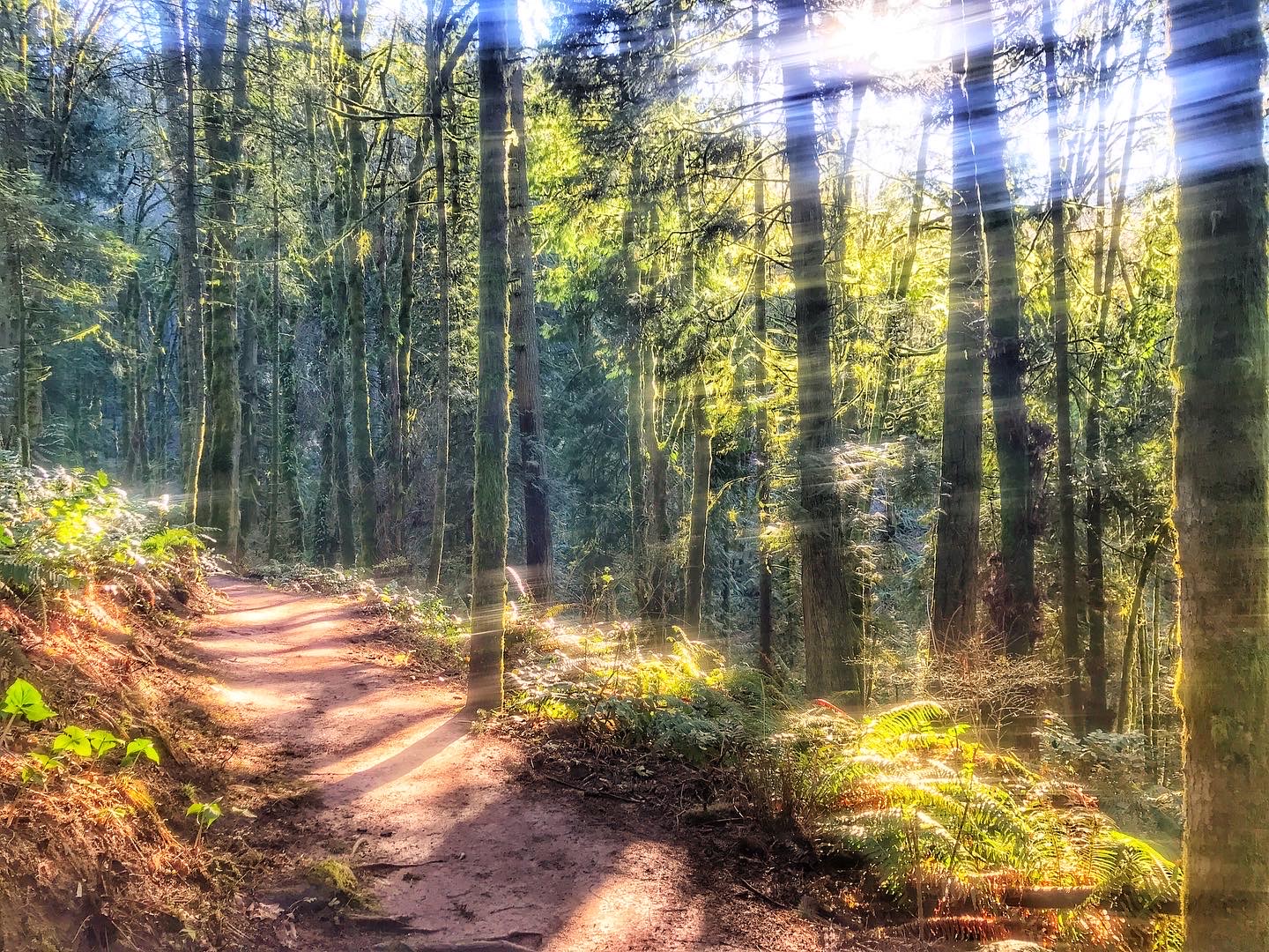
Unexpected Spring-like day in the PNW. I was able to go to Forest Park for a spin. It was really muddy even on BPA Road and Firelanes 12 & 15.
I did a shortened version of my usual workout because my knees are still buggin’ from arthritis. Still glad to get my boots dirty and say “hello” to Benjamin George Collins. (There’s a bench in his honor on the Wildwood Trail.)
Also, I got to see Mt Rainier (“Tahoma", "Takhoma", "Ta-co-bet"), Mt St Helens ("Loowit"), Mt Adams ("Pahto" and "Klickitat").
 |
| Wildwood Trail |
 | |
|
 |
| Mt Rainier (“Tahoma"), Mt St Helens ("Loowit"), Mt Adams ("Klickitat"). |