 |
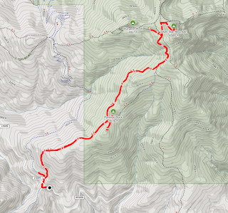
| AllTrails maps |
Getting There
I took L-1200 out of Washougal to get there. It's 7 miles up a gravel
road from the end of the pavement on Skamania Mines Road and it's 18
miles from Washougal. You can also reach the trailhead from the north
via Yacolt.
The Hike
Length: 8.14 mi
Elevation gain: 2,539 ft
Moving time: 3:38:58
Total time: 3:54:39
Avg. pace: 26:54
Calories: 1,929
This was my third time up this trail. The weather was amazing. Not too hot, very few bugs, trail was mostly free of obstructions like overgrowth and trees. The first hill is long and rocky and could be tedious but there are a lot of decisions to make, i.e. picking a route through the rocks.
I took a look at a side trail around Pyramid Rock and got some elevation. On my previous visits, the weather has been a little overcast so it was great to get above the trees and see outcrops above.
There are a lot of folks enjoying the views at the top. I did stop for a 10-15 mins to eat part of a sandwich and take some photos. I also had to change into a dry shirt.
I started down the trail to Sturgeon Rock. According to the map, there is another trail which I looked at but it was overgrown. I tried the more direct route but found it pretty steep and rocky, like a creek bed. I just didn't want to lose the elevation and decided to stick to the main trail.
On the map, you can make a cool loop by detouring to Sturgeon Rock then descending down to Tarbell Trail which reconnects with the Grouse Trail a few hundred feet from the trailhead and L-1200.
 |
Grouse Trail
|
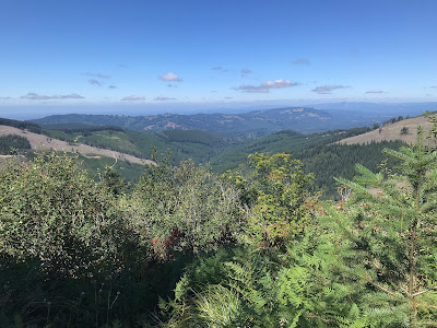 |
Looking west
|
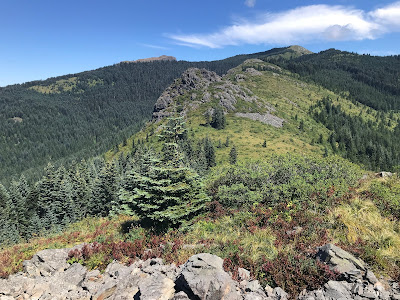 |
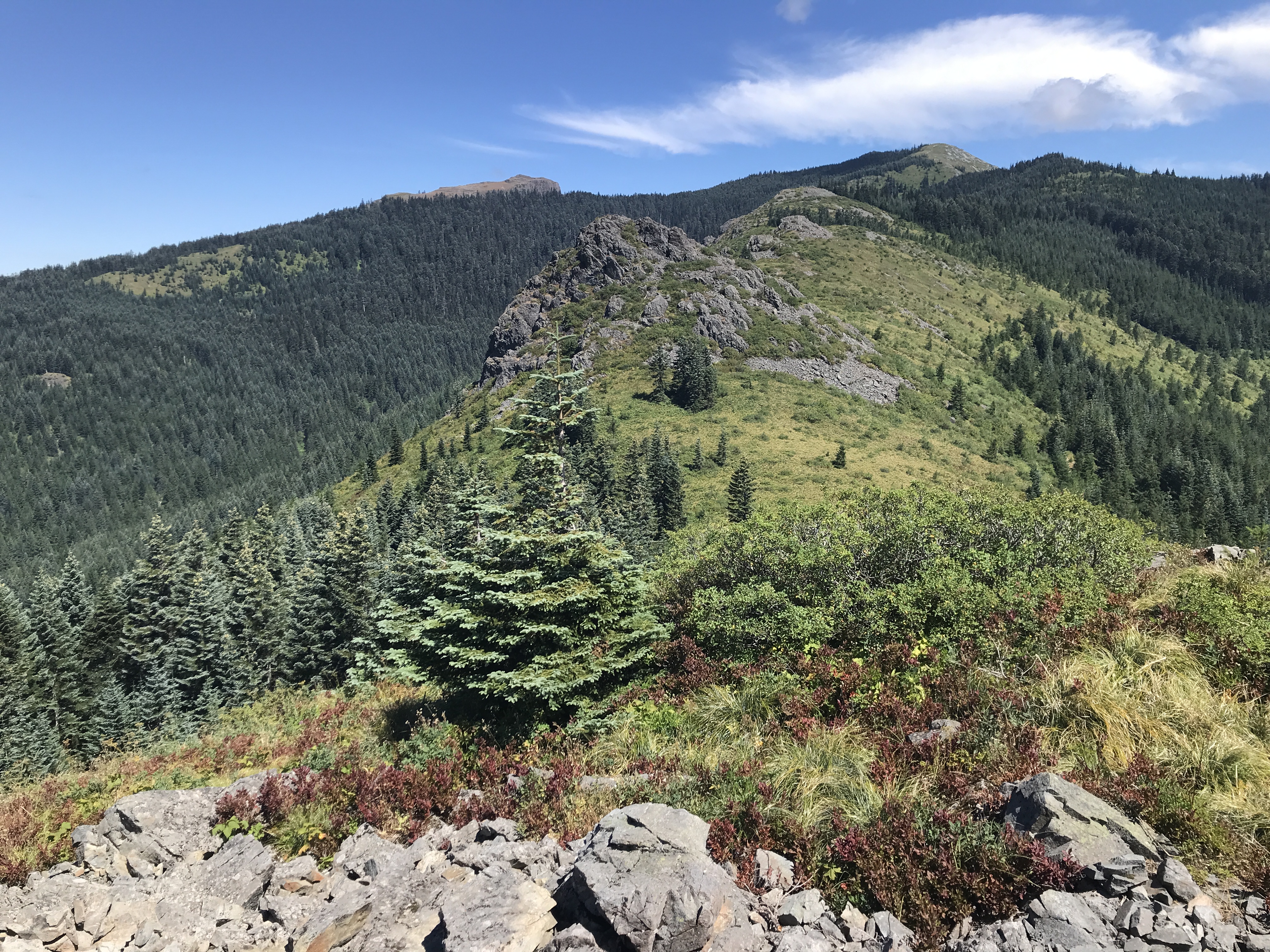
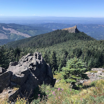
Pyramid Rock (fg), Sturgeon Rock (bg/L), Silver Star Mtn (bg/R)
|
 |
| Mount Hood (Wy'est)(L), tip of Jefferson Mtn (R) |
|
 |
Sturgeon Rock
|
 |
Silver Star and Mt St Helens (R)
|
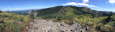 |
Pano of Pyramid Rock
|
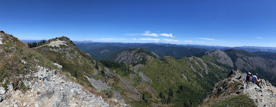 |
Pano from Silver Star Mtn
|