|
Blue: Mosier Plateau Trail
Yellow: Rowena Plateau Trail |
Length: 2.7 miles
Elevation Gain: ~ 728 feet
Type: Out & Back
Steps: ~5,000
My Fitbit says I traveled 4.13 miles and 9,044 steps but that also includes a few steps in Hood River, and the walk to and from the Rowena Plateau trailhead.
Getting There
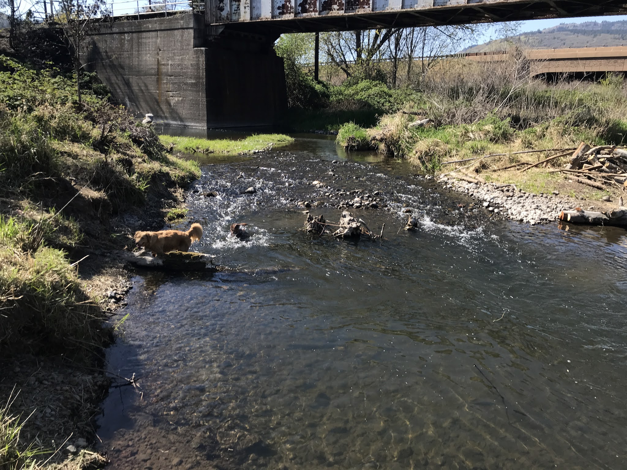
Gorgeous day for a hike with Holly & Brian and the doggos. We met in Hood River at NYC Sub Shop to grab some sandwiches. We all got the Manhattan (ham & salami), yum~.
We drove out to Mosier, OR via I-84 (Exit 76) and wound our way back to the Rowena Viewpoints and Tom McCall Reserve and stopped to scout out the Rowena Plateau for next time.
Then, we continued west on Hwy 30 to the Mosier Plateau trailhead. I saw cars near the trail sign and immediately parked on the shoulder. It was a pretty tight sqeeze trying to stay off the pavement but we managed. (Turns out there is a big parking lot on the other side of the 1-lane bridge.)
The Hike
It's a narrow trail but everyone was cool to let us go by or vice versa. It's an easy hike with lots of switchbacks. The views were amazing and lots of wildflowers were in-bloom.
https://www.alltrails.com/explore/trail/us/oregon/moiser-plateau