
 |
| Warrior Rock Light |
 |
| AllTrails map |
Getting There
From Hwy 30, cross the bridge to Sauvie Island and head north passed the store. Turn right onto NW Reeder Rd and take it all the way to the end. Just before the beaches, the road turns to dirt. There is some washboarding but it's not as bad as on previous visits.A parking permit is required on the island: https://sauvieisland.org/visitor-information/park-permits/
The Hike
Length: 6.95 mi
Elevation gain: 92 ft
Moving time: 1:55:12
Total time: 2:03:47
Avg. pace: 16:34
Calories: 1,158
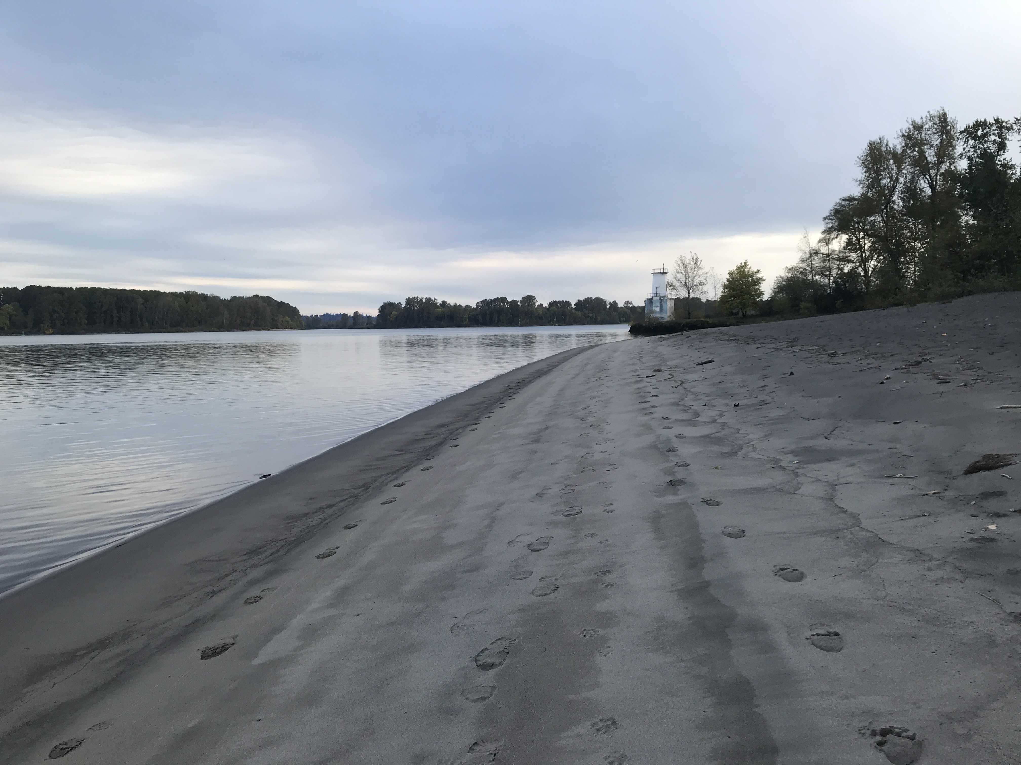
Last time I hiked here was April 14, 2021. There were two school buses full of small kids at the beach. I saw several groups of people along the way but had the lighthouse to myself.
The lighting was amazing. I got some nice photos. No wind so the water was glassy. I tried to walk up the beach to the end of the island to see St Helens but there were a bunch of trees blocking the way. I could vaguely see the St Helens Courthouse and the 1/2 scale version of the lighthouse at the harbor.
The route is not that exciting to be honest. You skirt the beach in the trees for the whole time. There are a few spots where you can see the river and even some access trails. It's got a bit of the Blair Witch Project vibe at times. The occasional passerby helps to return the mind to "reality".


I glad to bump my hiking stats. This one makes #39.
https://api.roadtripsandhikes.org/hiking-stats/for/larry-moiola/?2022&full
AllTrails:
https://www.alltrails.com/explore/recording/warrior-rock-light-sauvie-island-06ee4c5
